


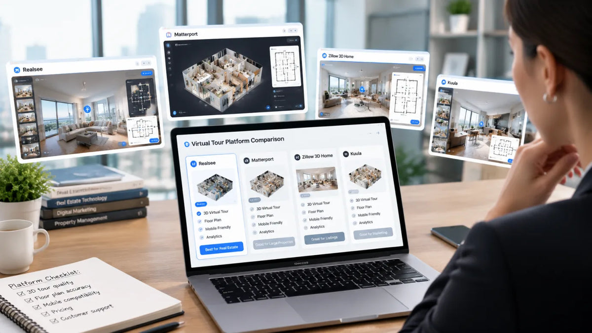
Best Virtual Tour Software for Real Estate in 2026: 8 Platforms Compared by Workflow
Eight platforms are grouped by capture workflow, with notes on floor plans, hosting costs, branding controls and a demo checklist for testing tours.
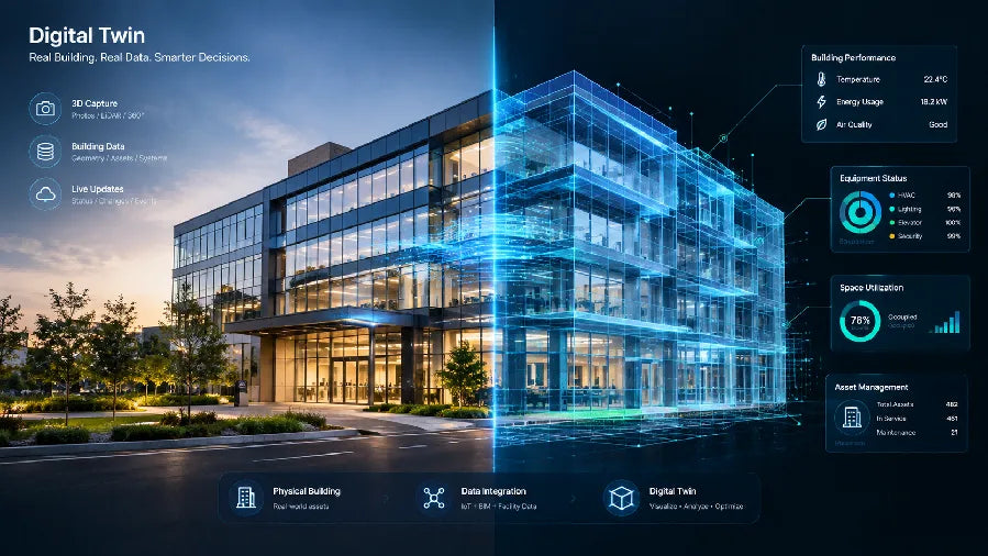
What Is a Digital Twin? A Complete Guide to Spatial Applications
Digital twin meaning explained with four core parts, update cadence and data fidelity, plus real estate, facilities and museum examples.
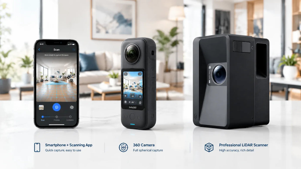
Mobile Capture vs 360 Camera vs LiDAR Scanner: Which 3D Tour Capture Method Is Right for You
Phone scans fit quick residential tours, 360 cameras steady high-volume listings, and LiDAR scanners deliver point clouds for AEC work.
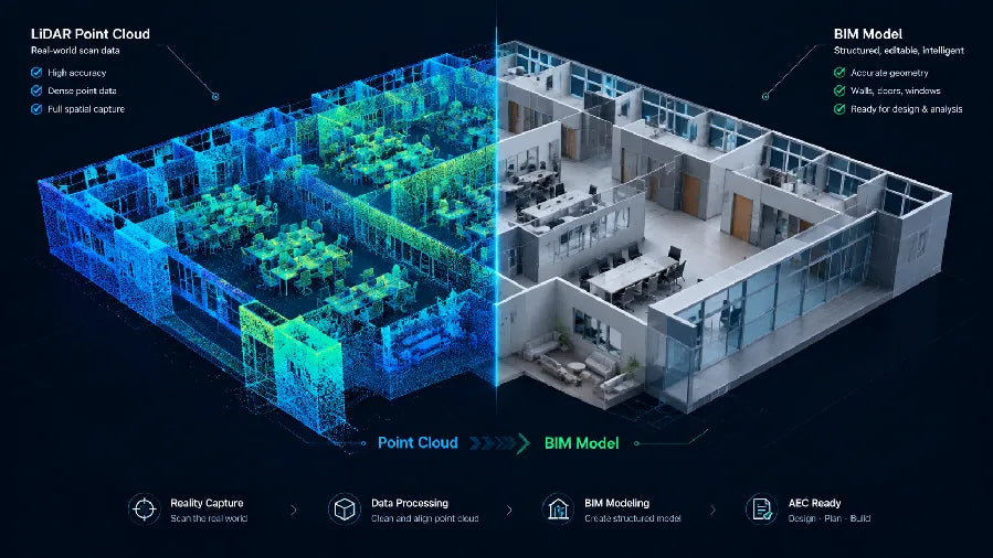
Point Cloud to BIM Workflow: How to Turn Site Scans into BIM Models
Scan planning, non-destructive point cloud cleanup, BIM import alignment, and LOA-based verification for renovation and as-built deliverables.

3D Scanning for Disaster Recovery: Document, Plan and Rebuild with Realsee
Discover how Realsee helps disaster-recovery teams document fire, flood, earthquake, and storm damage using 3D tours, floor plans, CAD files, and point clouds.
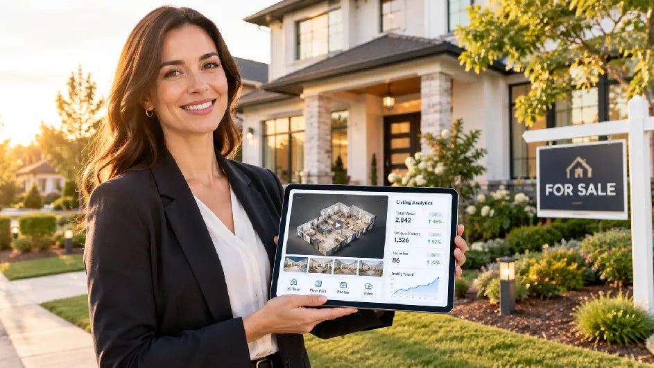
How to Build a 90-Day Real Estate Marketing Plan for a New Listing
Weekly scorecards, staged asset refreshes, and a day-by-day template guide the launch, feedback, and repositioning phases of a new listing.