INTERGEO 2026 has come to a close, and we’re glad to have been part of it. Thank you to everyone who stopped by the Realsee booth in Munich. We were glad to share what we’ve been working on and introduce our latest spatial capture solutions in person.

If you couldn’t make it, here’s a quick look at what we brought.
Two Ways to Capture the Site
Different projects call for different approaches to reality capture. Detailed documentation requires a strong geometric and visual reference, while early site assessments often prioritize speed and mobility. At INTERGEO, Realsee presented two devices designed to support these needs.
Galois P4 for Detailed Site Documentation
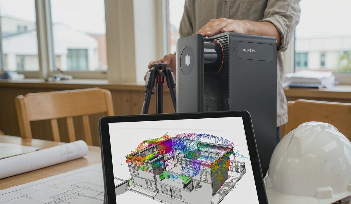
The Galois P4 combines stationary LiDAR scanning with high-resolution imagery to support as-built documentation and scan-to-BIM workflows.
With a stated accuracy of ±10 mm and a measurement range of 0.1–100 m, it captures spatial data for building and engineering projects. Scanning takes as little as 16 seconds per position, while 47-megapixel still images and 300-megapixel panoramas provide visual context alongside the geometry.
Point cloud deliverables in formats including E57, LAS, PLY, and RCP support downstream CAD and BIM workflows. Project teams can use the captured data as a reference for modeling existing conditions, reviewing dimensions, and planning design work.
Poincare for Fast Walkthrough Capture
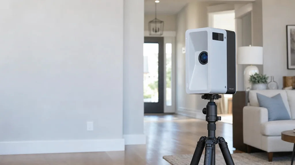
The Poincare handheld scanner takes a mobile approach to site documentation. Teams can walk through a space while capturing data, with real-time processing supporting efficient on-site work.
For a space of approximately 100 square meters, the workflow described in our exhibition materials can complete measurement in around four minutes and deliver usable CAD drawings in around 15 minutes. Actual timing depends on site conditions and project requirements.
Automatic recognition of elements such as walls, doors, windows, and utility boxes helps streamline the transition from site capture to drawings. This makes Poincare relevant to preliminary site assessments, existing-condition surveys, and renovation planning.
From Site Capture to Shared Project Information
Hardware was only part of Realsee’s showcase. We also presented how captured spaces can become shared visual records that support work beyond the initial site visit.
Deliver Data for Design and Documentation
Realsee’s workflows connect site capture with deliverables such as point clouds and CAD plans, elevations, and sections. These outputs help teams document existing conditions and prepare references for downstream design and BIM modeling.
The goal is to make captured information useful in the tools and processes project teams already rely on, reducing the need to piece together disconnected measurements, photographs, and notes.
Bring Remote Teams Into the Same Site Context
Cloud-based access allows designers, contractors, owners, and other stakeholders to review a captured space without all being physically on site. Online annotations and side-by-side comparison of design information with captured conditions help teams point to specific locations and discuss issues with clearer context.
A shared visual reference can make it easier to explain a site condition, check a proposed change, or identify where further verification is needed.
Preserve a Record Across Project Stages
Timestamped captures create a visual history of a project as work progresses. For renovation and construction teams, this can be particularly useful when documenting services and other elements before they are concealed by later work.
Retaining those records gives future teams additional context for maintenance, refurbishment, and expansion planning.
Thank You for Joining Us in Munich
Thank you to everyone who visited Realsee at INTERGEO 2026 and took the time to explore our products and AEC workflows.
As we continue developing our spatial capture technology, our focus remains on helping teams document sites efficiently, deliver useful spatial data, and collaborate with a clearer understanding of real-world conditions.
Let’s Stay in Touch
Missed us at the event, or want to continue the conversation? Contact our team to discuss a reality capture workflow for your next project.