


All-in-One Solution for Real Estate Photography
Create high-resolution property visuals, immersive 3D tours, floor plans and shareable marketing assets through one connected Realsee workflow.
What Professional Real Estate Photographers Need Today
Meet growing client expectations with a faster workflow, premium visual quality and more deliverables from every property shoot.

Faster Property Shoots
Serve more properties while working within tighter shooting schedules.

One Shoot, More Outputs
Create tours, floor plans and marketing assets in one workflow.

Premium Visual Quality
Stand out from standard photos and basic 360 tours with up to 24K clarity.

Smoother Delivery
Reduce manual work from capture to client delivery.
Built to Set the Standard
Meet Galois P4 for Real Estate Photography
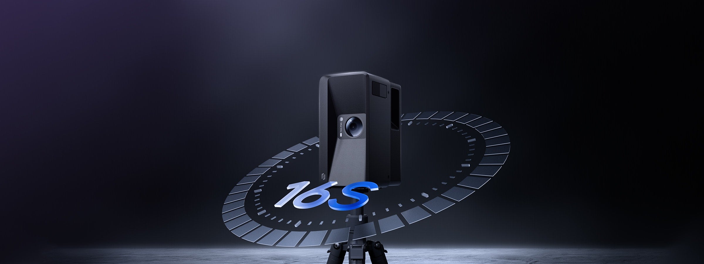

16s Ultra-fast Scanning
Move through properties faster and complete more shoots each day.
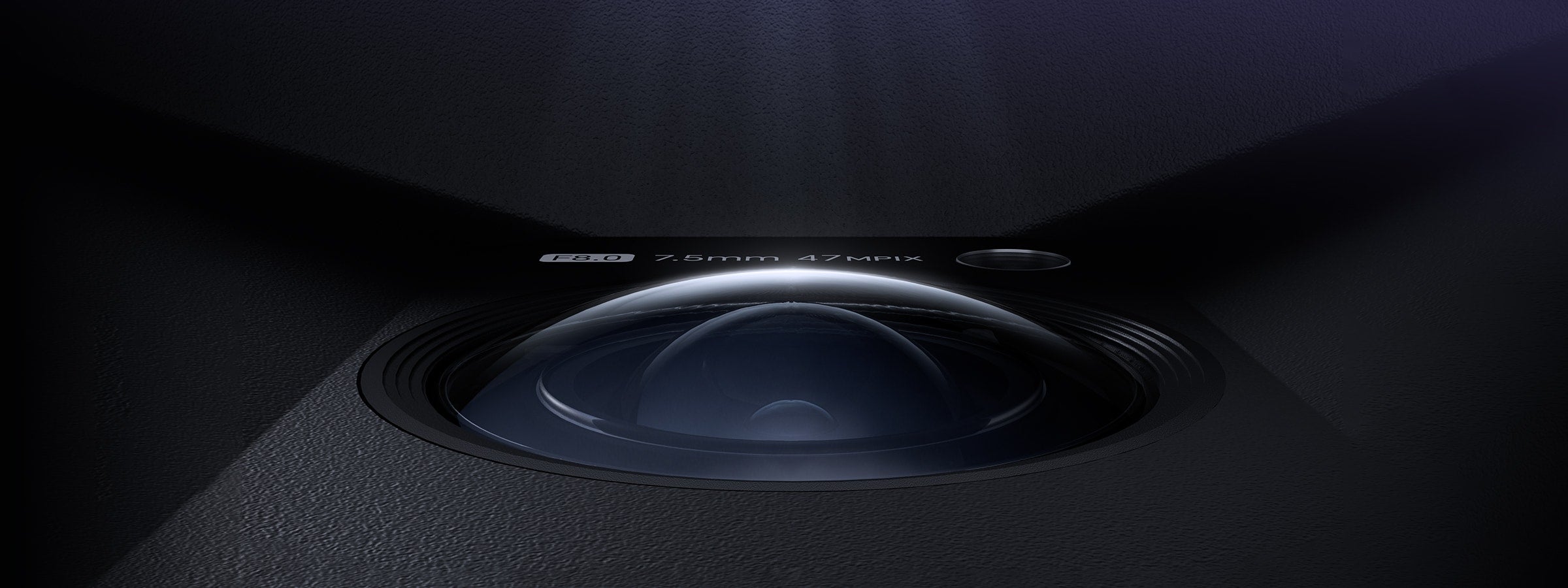

300MP, 24K Panoramic Output
Create premium-quality property visuals that elevate listings and client deliverables.
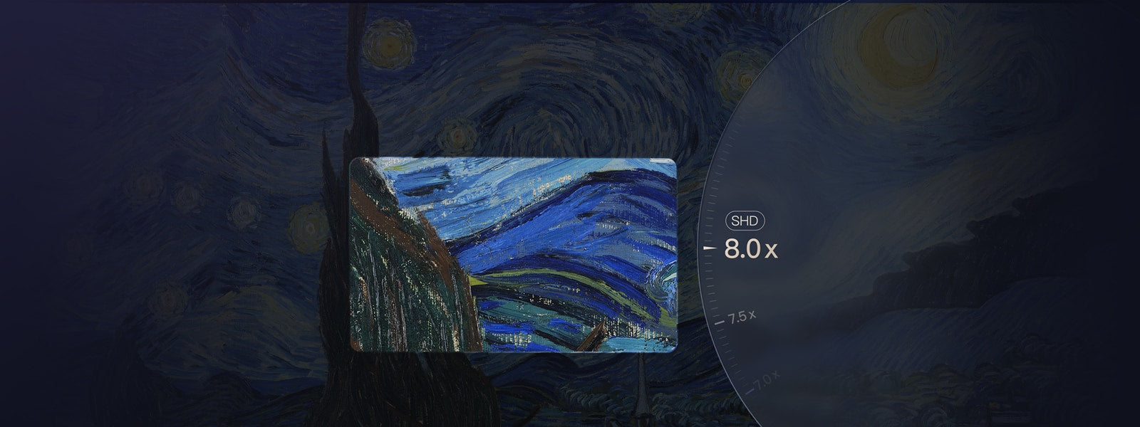

8X Lossless Zoom
Zoom in without losing clarity.


100m Scanning Range
Capture larger properties with ease.
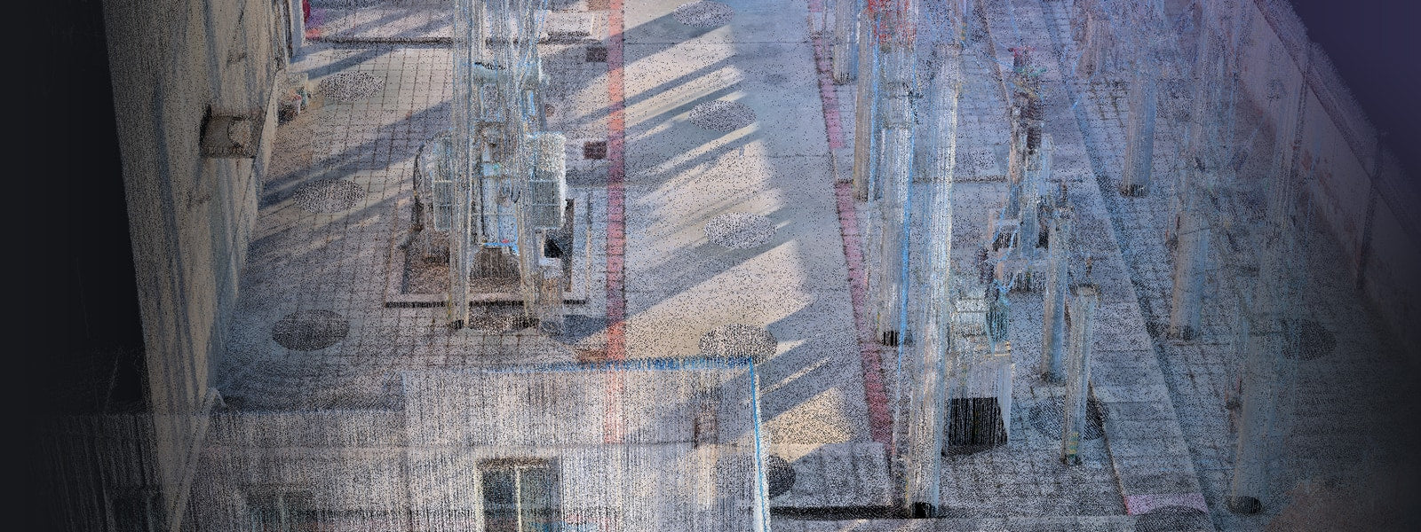

125600 Points per Second
Larger-scale high-quality dense point cloud
A Smarter Workflow for Real Estate Photography
From tighter shooting windows to higher client expectations, Galois P4 helps real estate photographers capture faster, deliver sharper visuals, and create more assets from every visit.
Real estate photographers often work under tight listing schedules, limited property access, and busy on-site conditions. Galois P4 helps reduce time on site with around 16 seconds per scan point, blind capture through the built-in touchscreen, and co-capture support for larger or more complex spaces. This allows photographers to move through a property more efficiently while still capturing LiDAR-based spatial data and high-quality visuals.
Low-cost 360 tours are easy to create, which makes it harder for professional photographers to differentiate on basic virtual tour delivery alone. Galois P4 helps photographers compete for higher-value real estate, luxury residential, premium interiors, and commercial property projects with 24K panoramas with up to 300MP output. The higher-resolution visuals help preserve details in finishes, materials, furniture, signage, and spatial presentation, giving photographers a stronger visual product to show agents, sellers, and premium clients.
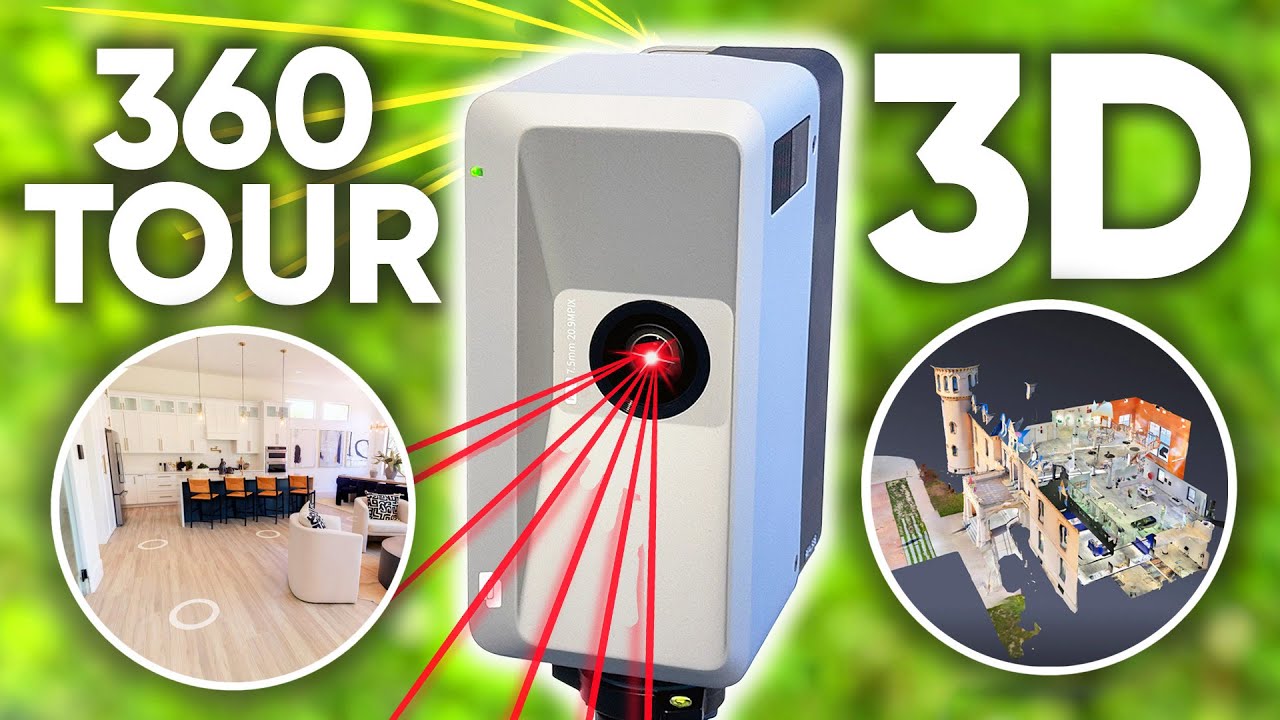
Separate capture workflows can add time, coordination overhead, and extra work after the shoot. With Galois P4 and Realsee, one capture can support multiple professional outputs, including 3D tours, 24K panoramas, floor plans, snapshots, space videos, point clouds, 3D models, CAD-related outputs, RAW images, and long-term digital twin documentation. This helps photographers turn one property visit into a richer deliverable package without needing to scan the same space multiple times for different outputs.


Flexible Pay as You Go
No fixed monthly subscription. Create Galois P4 projects without using credits, then top up only when you need to keep tours active or access selected downloads and add-ons.
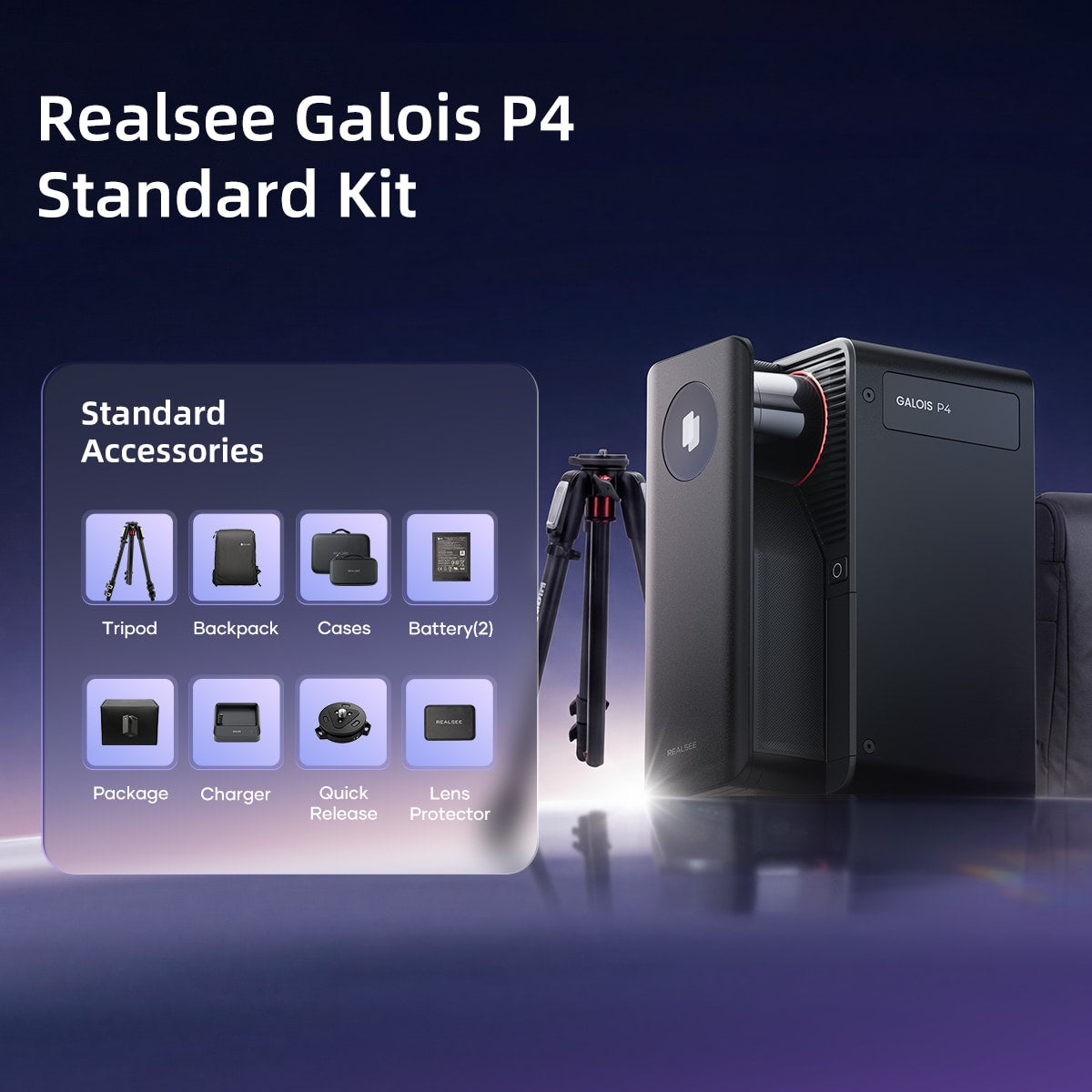
- 905 nm Laser LiDAR
- 0.1-100m range(@90% reflectivity)
- Scan Rate: 125,600 pts/sec
- < ± 10 mm measurement error (@0.1-15m)
- 300MP Output Pano Pixels/24K
- CMOS: 4/3 inch
- Number of exposures per HDR frame: 5
- 8min/1000 sq ft Capture Efficiency
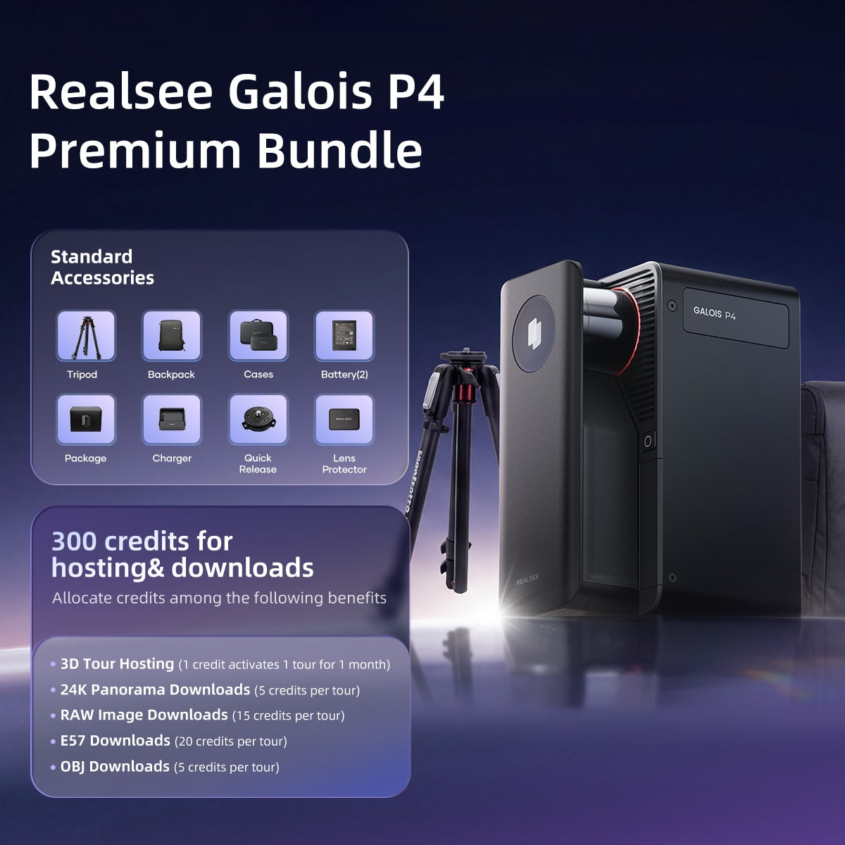
- 905 nm Laser LiDAR•0.1-100m range(@90% reflectivity)
- Scan Rate: 125,600 pts/sec
- < ± 10 mm measurement error (@0.1-15m)
- 300MP Output Pano Pixels/24K
- CMOS: 4/3 inch
- Number of exposures per HDR frame: 5
- 8min/1000 sq ft Capture Efficiency


See the Unseen: Up to 24K LiDAR Excellence
Explore hyper-realistic 3D tours captured by the Galois series

Home Decoration Showroom
Captured with Galois P4: Captured in stunning high definition with the Galois P4, this immersive 3D virtual tour brings every detail to life. With 8x magnification, you can explore rich textures, fine craftsmanship, and intricate finishes up close—exactly as they appear in person. Experience the space with unmatched clarity and realism, all from anywhere in the world.
The Forge Gym
Captured with Galois P4: The Forge Gym, located in Beijing, is a 3,500-square-meter premium fitness space captured with Galois P4 technology. It offers an immersive VR experience that lets users explore its world-class equipment, dedicated strength and cardio zones, and iconic treadmill views of the CCTV building—bringing the gym’s expansive layout and vibrant atmosphere to life before you even step in.
Exquisite Waterfront Masterpiece
Captured with Galois M2: On the shores of Lake Meridian, this estate redefines opulence with over 5,000 square feet of elegance. Every detail exudes sophistication, from soaring ceilings to expansive windows framing stunne views.
IKEA in 3D
Captured with Galois M2: Navigate the vast IKEA store with ease. Captured effortlessly by the Galois, this 3D tour uses rich media tags to create an immersive shopping experience, guiding customers intuitively through every display and living space.
Bolling Hall Museum
Captured with Galois M2: Bolling Hall Museum is a fascinating journey through the lives and times of the Bradford families who lived there for more than five hundred years
St. Peter's Church, Hartshead
Captured with Galois M2: This beautiful church commands phenomenal views across the Yorkshire countryside and with connections to the Bronte family and Robin Hood, the historic church continues to inspire all who visit.
Atlanta Construction Showcase
Captured with Galois M2: Galois documents exposed services before walls are closed, so clients can revisit the captured record during construction and renovation.
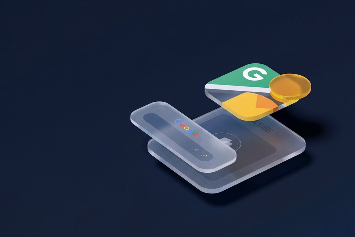








Photographer perspective
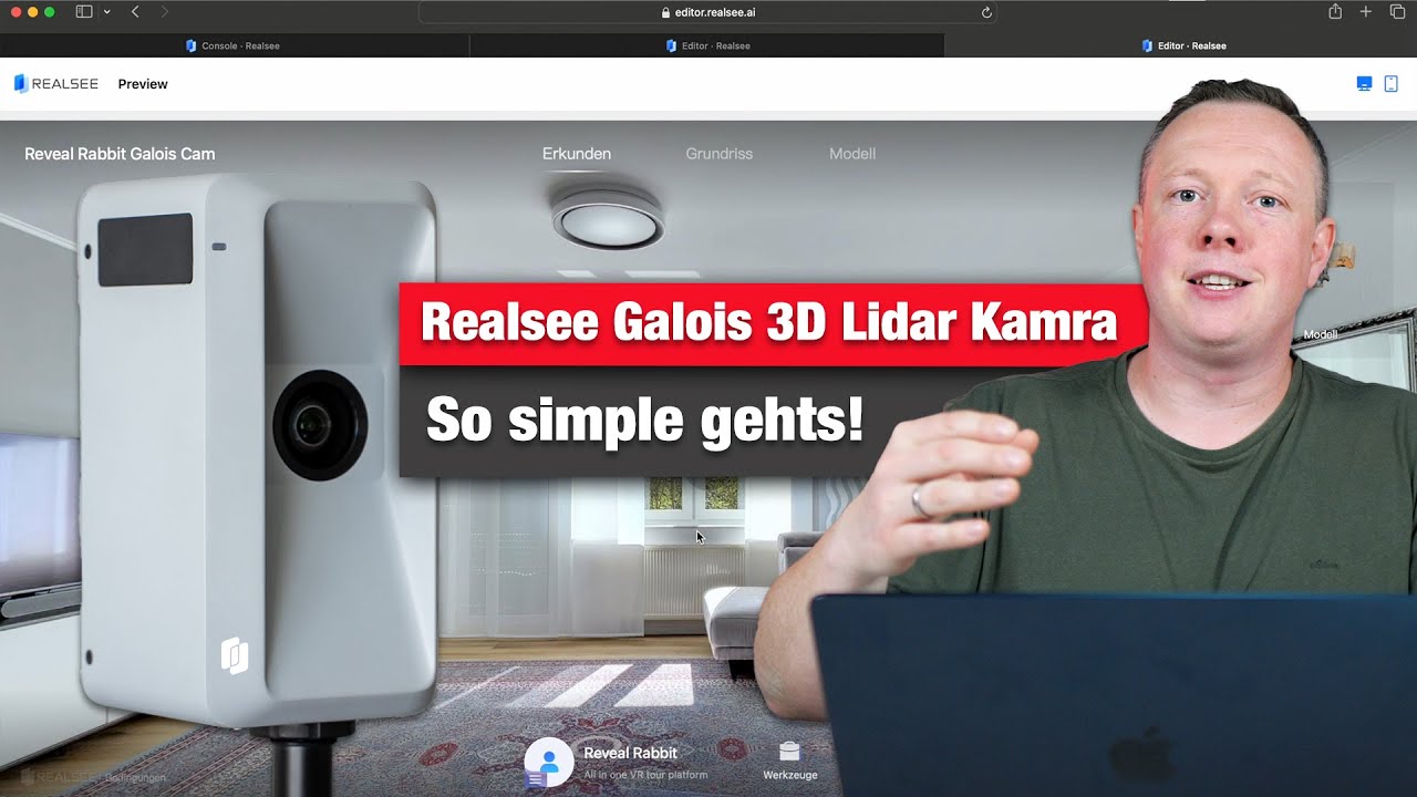
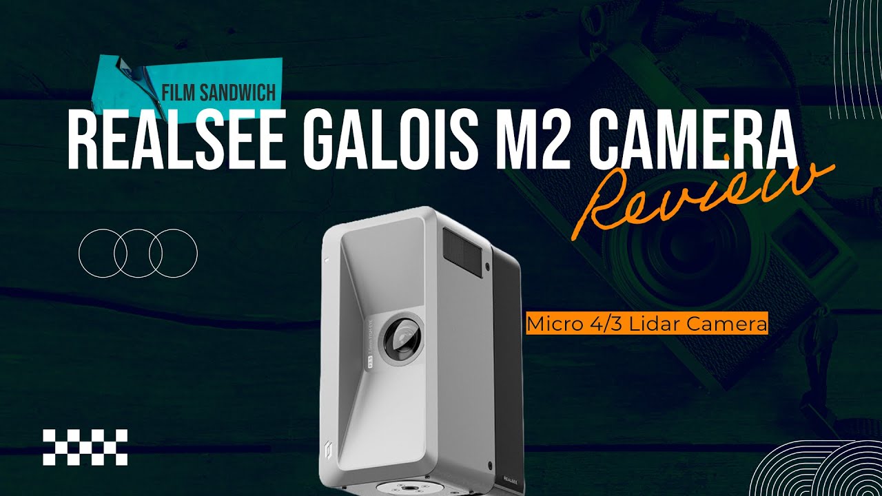
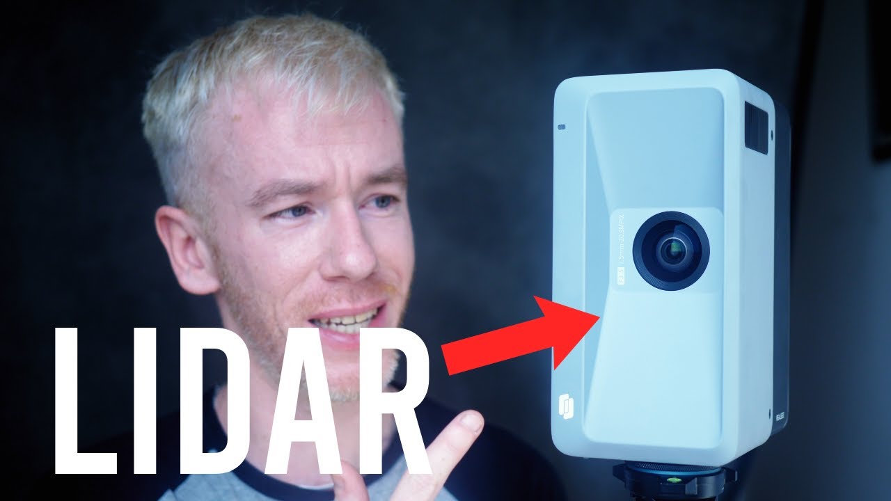
Watch a Photographer's Hands-On Look at Galois P4
See an independent hands-on look at Galois P4 and how the capture experience fits into a professional property media workflow.
Multiple Features
AI- Powered Editing Toolkit
After capture, real estate photographers still need to polish the tour, present the property professionally, and deliver assets in a client-ready format. Realsee's editor helps photographers turn a captured space into a branded, shareable property experience with tools for visual editing, floor plans, media tags, branding, AI-powered cleanup, and presentation. This workflow can support AI camera removal, AI Zenith / Nadir patching where used, image replacement, branding and logos, multimedia tags, floor plan editing, tour sharing and embedding, snapshots, and videos where relevant.


Capture Your 3D Tour with Versatile Options!
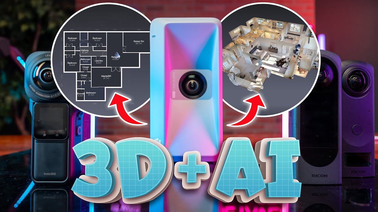
Realsee supports different budgets, devices, and capture workflows. This page centers on Galois P4 for professional real estate photography, while also showing how teams can use Galois series LiDAR capture, 360 camera capture, mobile capture, and Pano to 3D when the project calls for a different route.


KOL Testimonials
Real Voices, Real Insights: KOLs on Realsee












Contact Us




FAQ for Real Estate Photographers
Practical answers for photographers considering Galois P4 and Realsee for property media services.
A real estate photographer can capture a property once and create high-resolution panoramas, an immersive 3D virtual tour, floor plans, snapshots, property videos, and additional spatial outputs. Explore the complete range of Realsee property deliverables.
Depending on the project and selected outputs, one capture can support a 3D virtual tour, high-resolution panoramas, snapshots, floor plans, space videos, point clouds, 3D models, and CAD-related outputs where applicable.
A 3D virtual tour gives buyers or renters an always-available way to explore a property’s layout, room connections, and important details. Tours, images, floor plans, and videos can be reused across listing pages, property websites, social media, and broader real estate marketing or property marketing campaigns.
Yes. A property photographer can use Realsee for offices, retail spaces, showrooms, hospitality venues, and other commercial properties. Projects can combine high-resolution imagery, 3D tours, floor plans, and LiDAR-based spatial data. Learn more about commercial real estate capture.
A 360 camera can be useful for lightweight virtual tours. Galois P4 is better suited when you need higher-resolution visuals, LiDAR-based spatial data, faster professional capture, and multiple deliverables from one capture.
Realsee can be considered by photographers evaluating a Matterport alternative. The best choice depends on capture needs, output requirements, client expectations, and preferred workflow.
Realsee provides credit-based, pay-as-you-go options for relevant tour hosting, processing, and deliverables. Costs depend on the selected output and publishing requirements; see the current Realsee Credits and hosting details.
Yes. Realsee 3D tours can be shared and embedded so agents or property teams can present tours on listing pages or property websites.
Yes. The Realsee 3D Tour Editor lets photographers add branding, contact information, multimedia tags, floor plan edits, snapshots, and other presentation elements. Finished tours can be shared directly or embedded on listing pages, agency websites, and property marketing pages.