Multiple applications
Real-Time 3D Mapping with Advanced SLAM Technology
Hightlights

Real-Time Processing
Instant, high-precision feedback

Ultra-Accurate Data
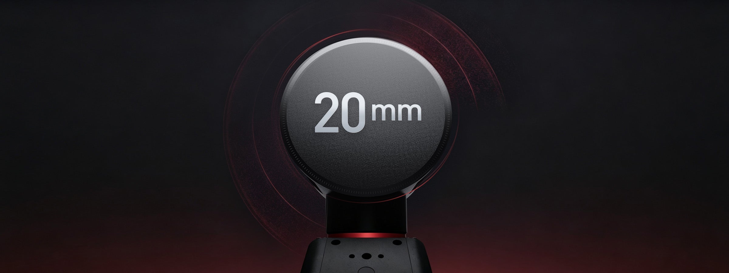
Relative accuracy <20mm, co-registration <20mm

Vivid Color Point Clouds
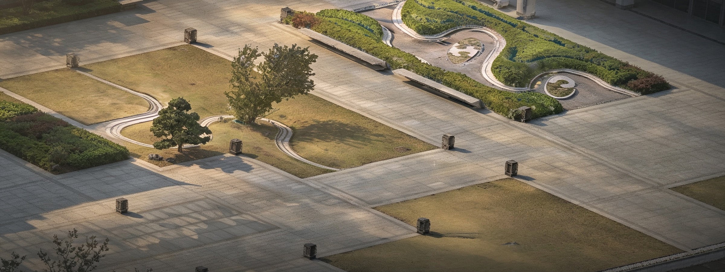
Multi-camera fusion for true-to-life textures

Automated Workflow
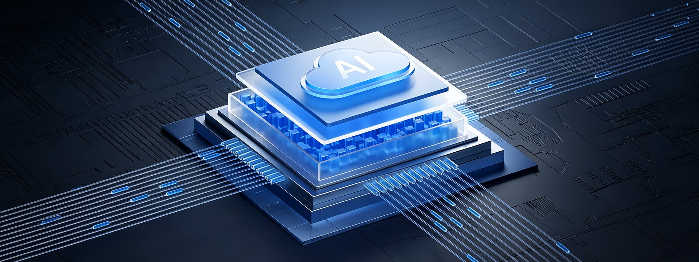
AI-driven processing, zero manual intervention
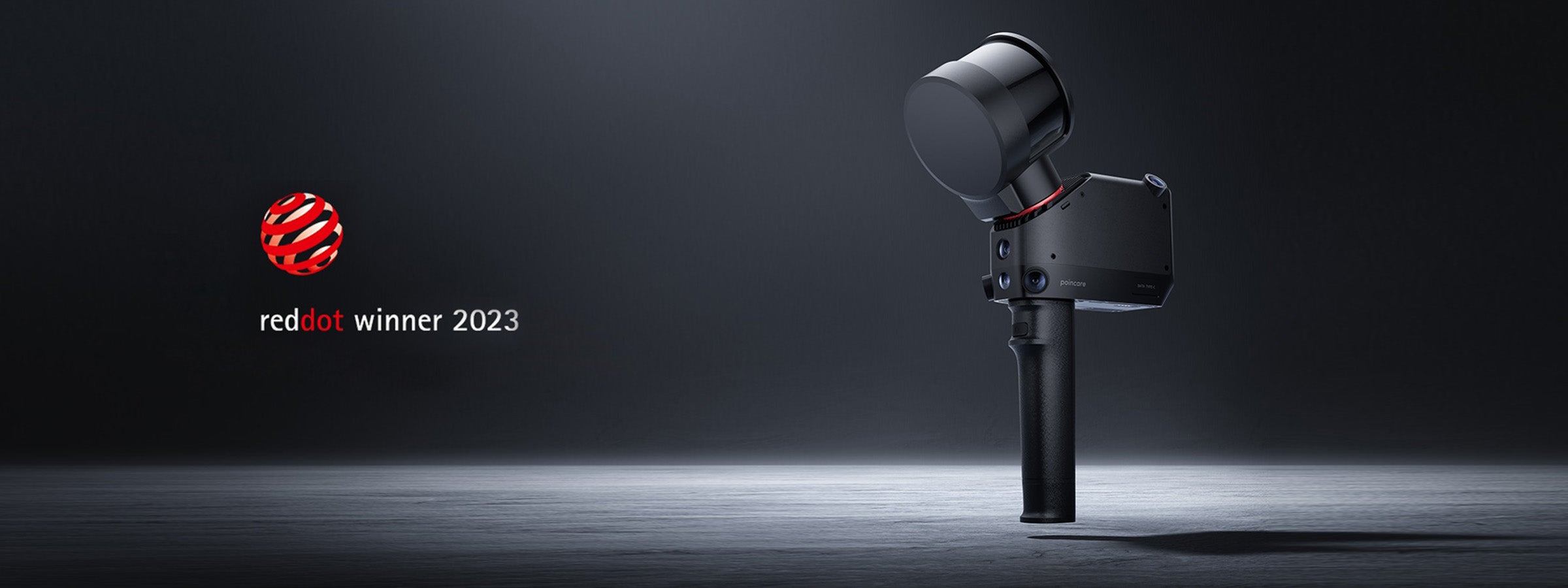

Award-Winning Design
Red Dot Award-winning mechanical elegance

Real-Time · Precise · Reliable
Real-Time Processing | Instant, Precise Feedback
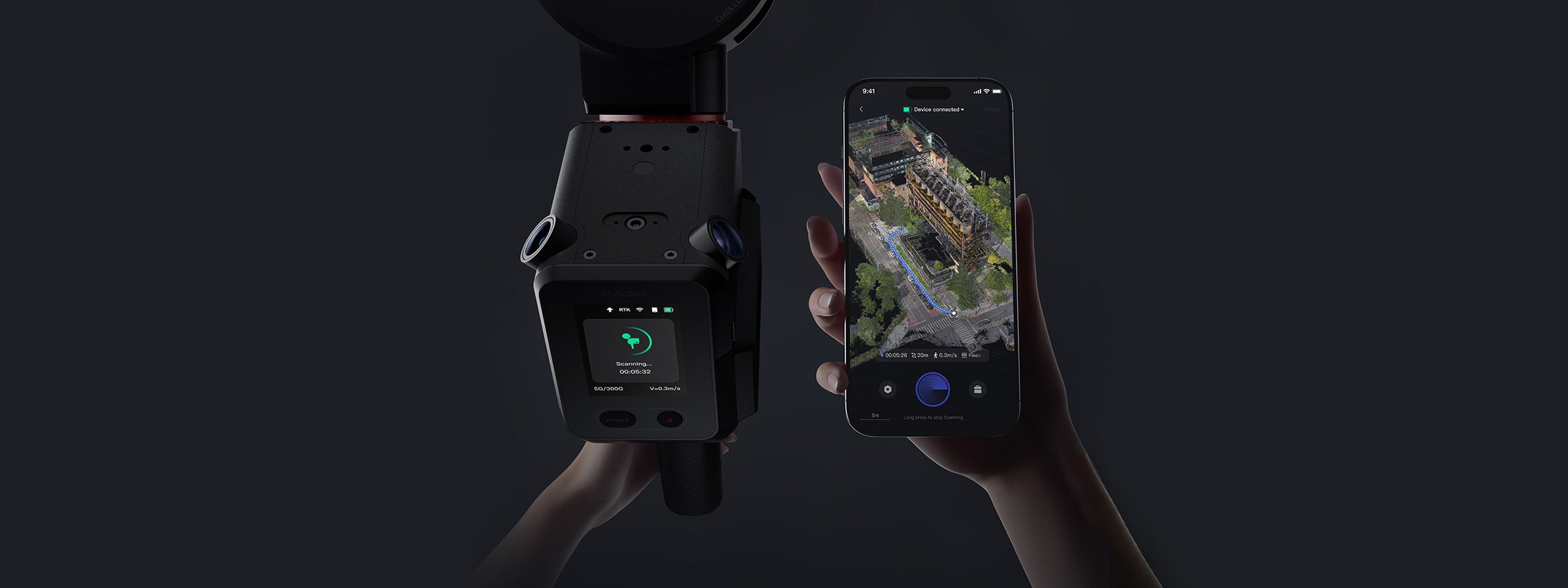
The Poincare handheld lidar scanner features cutting-edge SLAM algorithms for real-time data processing, enabling live point cloud visualization and trajectory tracking on mobile devices. Streamline workflows and boost productivity with intuitive, comprehensive scan data.

Live Feedback at Your Fingertips
Poincare uses real-time SLAM to optimize positioning and build accurate 3D maps, with live progress tracking in the Realsee VR app.

Visual Control: Faster Scans, Fuller Coverage
Scan confidently with real-time monitoring, instant adjustments, and efficient workflows—capturing 1,100 ft² (100 m²) in just 4 minutes.

Adapts to Dynamic Environments
AI-powered filtering delivers clean, accurate point clouds—even in crowded indoor and challenging outdoor environments.

Accuracy · Efficiency · Automation
Precision Scanning for Rapid Modeling
The Poincare handheld LiDAR scanner integrates a professional 16-line laser system that enables rapid and precise scanning of target environments. With enhanced detection range and superior point cloud density, it captures comprehensive environmental details for highly accurate data replication.
Real-Time 3D Mapping. Precision in Every Move.
Powered by advanced SLAM, Poincare captures accurate, true-color point clouds in real time. Intelligent filtering, live app control, and automated processing make complex 3D scanning faster, cleaner, and easier—from field capture to final output.

16 Laser Channels + 120m Radius
- 16-line LiDAR array with 0.05–120m scanning range
- Delivers high-density point clouds across near/far distances
- Optimal coverage for both detailed features and large structures
- Enhanced adaptability for diverse scanning environments

320,000 Points/Second Sampling Rate
- High-speed data capture accelerates scanning workflows
- Generates dense, precise point clouds in real time
- Ideal for rapid data acquisition and modeling scenarios

360° × 270° Field of View
- Complete horizontal 360° coverage
- Extensive 270° vertical scanning range
- Minimizes blind spots for comprehensive data collection
- Ensures scanning accuracy and completeness

Class 1 Laser Safety
- Eye-safe operation (IEC 60825-1 certified)
- No protective equipment required
- Enables comfortable extended use
- Allows scanning in occupied spaces without clearance


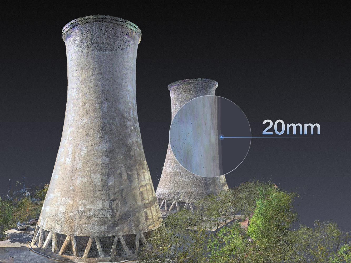
Sub-20mm Registration Accuracy
Poincare maintains <20mm co-registration accuracy in repeated surveys, ensuring measurement consistency and reliable data output—minimizing manual adjustments even in complex scenarios.


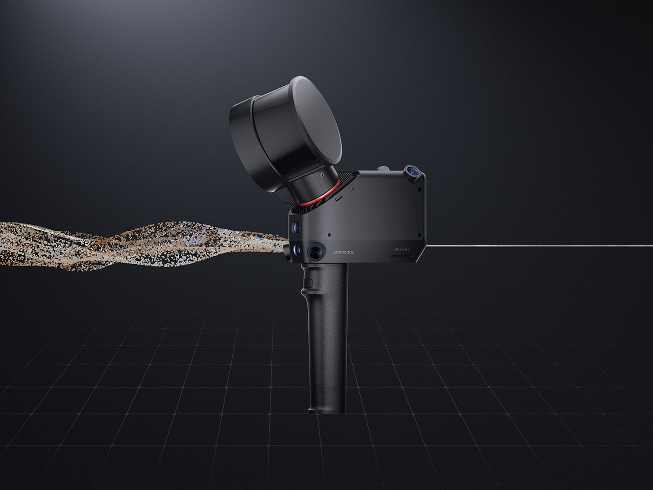
1mm Single-Layer Point Cloud
Powered by advanced SLAM and multi-algorithm processing, Poincare generates paper-thin (1mm) single-layer point clouds with exceptional uniformity and detail clarity—reducing data redundancy while enhancing precision.
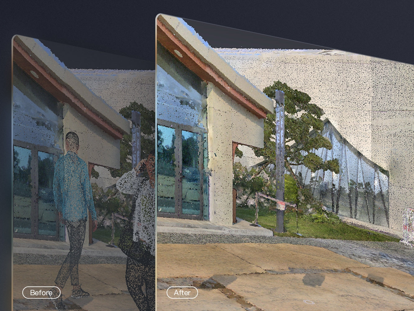
Intelligent Noise Filtering
Equipped with AI-powered filtering, Poincare automatically removes dynamic objects and irrelevant elements, delivering clean data in complex or high-traffic environments.

Clarity. Precision. Speed.
Capture Full-Scene Colors in a Single Scan
Poincare breaks the limitations of traditional surveying equipment by capturing multi-angle, multi-spectral images to enrich point cloud data with vibrant colors and fine details—delivering true-to-life visual fidelity.
Multi-Sensor Synergy: From Macro to Micro
The Poincare system integrates specialized cameras working in concert with its LiDAR core. This multi-layered approach captures vast environments and intricate details simultaneously, delivering richly colored, highly detailed point clouds essential for demanding AEC workflows, surveying, and visualization.

🔵 Four dedicated color sensors
🔵 Wide 125° x 92° (163° diagonal) field of view
🔵 Captures expansive, true-to-life color imagery across large sites
🔵 Delivers vibrant, photorealistic colorization for enhanced point cloud visualization and analysis
🔵 Optimized for close-range feature capture
🔵 4.4mm focal length for high magnification
🔵 Resolves fine textures and colors of small structural elements
🔵 Ensures critical details in complex environments are captured accurately for comprehensive documentation.
🔵 Ultra-wide 195° x 151° (200° diagonal) field of view
🔵 High 50Hz frame rate
🔵 Enables stable, real-time localization and mapping in dynamic settings
🔵 Guarantees consistent, high-precision positioning for reliable scan alignment and results.
True-to-Life Colorization
Poincare fuses multi-angle HD imagery with LiDAR data using global color consistency algorithms. Achieve pixel-accurate, photorealistic point clouds with seamless color uniformity—enhancing spatial comprehension and delivering immersive visual outputs for critical design and analysis workflows.
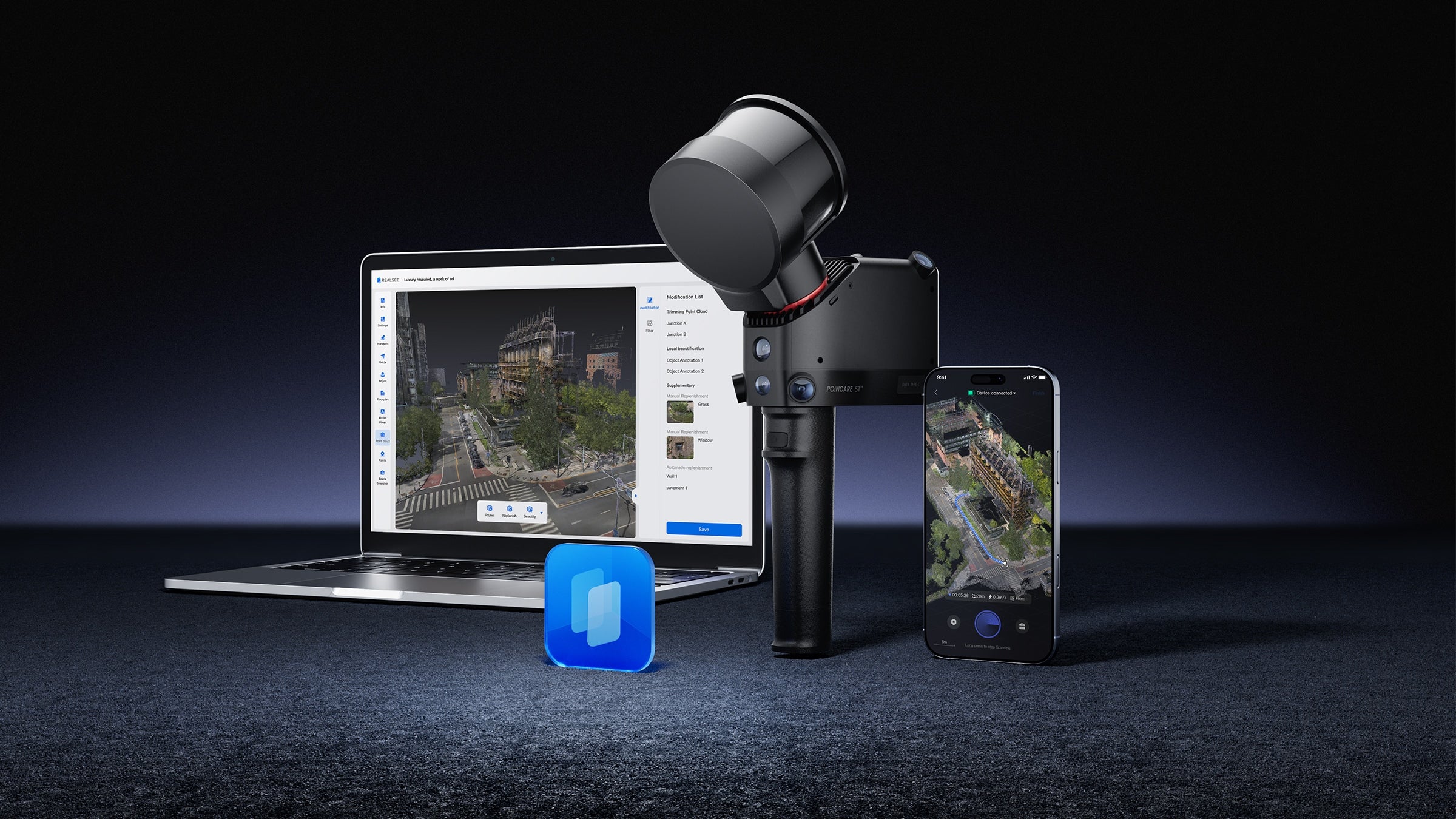
App-Connected Real-Time Control
Operate seamlessly via Realsee VR App: Capture, transmit, and validate scans in real time. Adjust point cloud display height, color intensity, and rendering quality mid-process. Experience end-to-end coordination—from field capture to review—in one fluid workflow.

Cloud-Automated Processing
Unlike on-device processing, our cloud-powered workflow liberates operations from hardware limitations.
Data auto-syncs post-capture while AI concurrently processes multiple projects with enterprise-grade stability.
Real-time editing during ongoing scans enables seamless team collaboration, accelerating deliverable timelines by 70% with zero manual intervention.
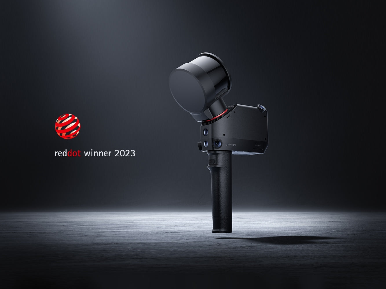
Award-Winning Ergonomic Design
Compact, agile, and engineered for field efficiency. Honored with the 2023 Red Dot Design Award, Poincaré combines robust functionality with minimalist aesthetics for unmatched portability in demanding environments.