


How to Upload a Realsee 3D Tour to Google Street View
Learn how to upload a Realsee 3D virtual tour to Google Street View with our step‑by‑step console guide. This article covers prerequisites, spatial alignment, scan spot limits, processing time, and...
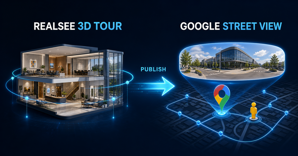
Realsee 3D Tour to Google Street View Publishing Guide
Learn how to publish and align your Realsee 3D VR digital twin tours to Google Street View and Google Maps. Boost local SEO, drive traffic, and showcase your spaces globally.
What are the limits of the "Auto Floor Plan" feature for Galois projects?
To use the "Auto Floor Plan" editing feature for Galois capture projects, the project must simultaneously meet all three of the following conditions (the intersection of these limits): Total Sc...
Realsee Technical Security, Compliance, and Disaster Recovery Statement
At Realsee, ensuring the security, privacy, and availability of our customers’ spatial data is our top priority. As we support enterprises and healthcare clients globally, we design our platform wi...
Realsee: June 2026 Feature Highlights
To provide a more efficient and seamless digital space experience, Realsee has rolled out key updates this month. The latest release focuses on comprehensive optimizations for the CAD workflow, bri...
Auto CAD Generation Service: Credit Pricing Guide
Dear Valued Customer, To offer more flexible and cost-effective options for your projects, our Auto CAD Generation Service features a tiered pricing structure based on the property's total area. P...