


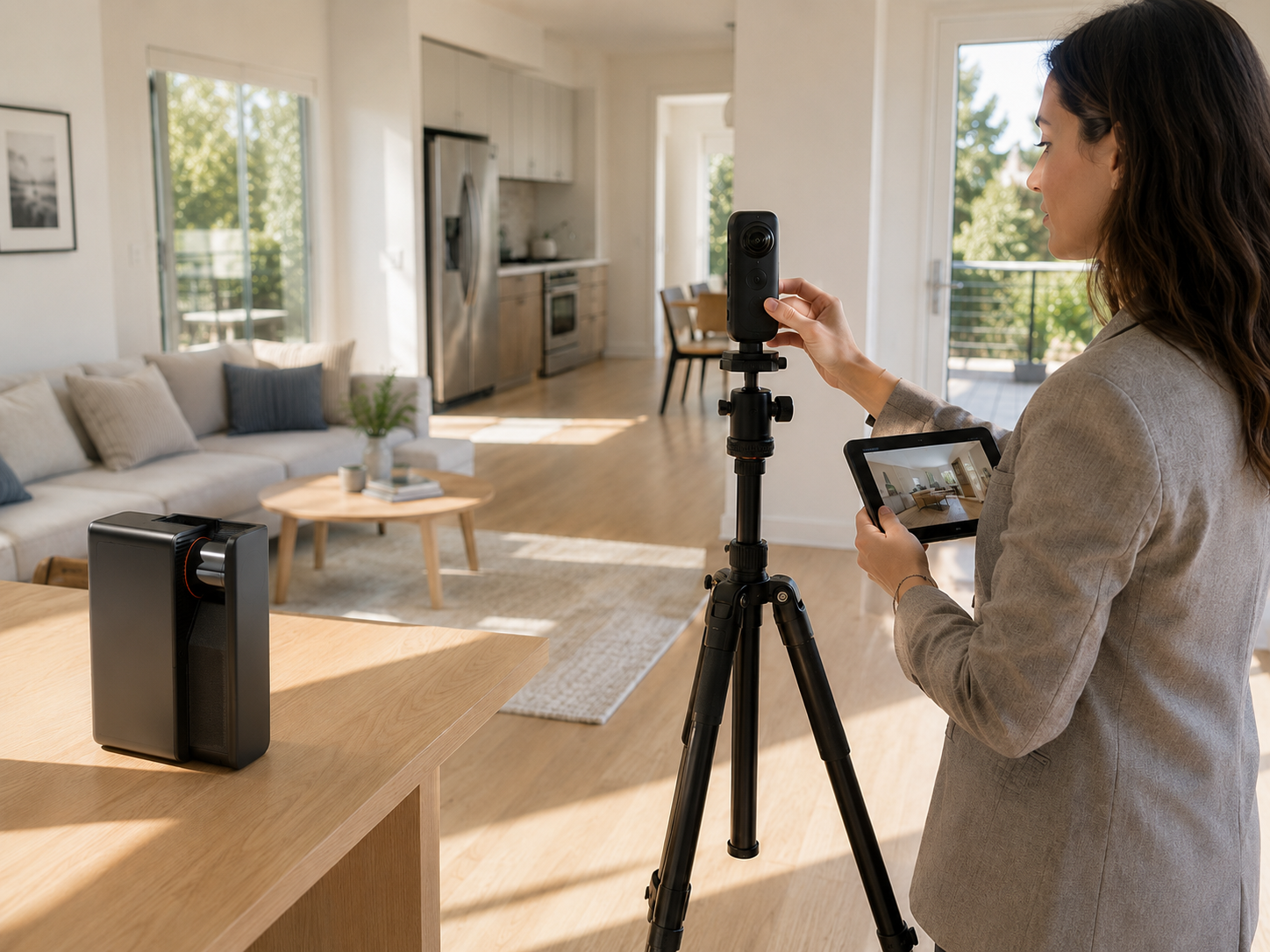
The dataset relies on standard geometric principles to function properly. Every single point receives an X, Y, and Z coordinate. The scanner maps horizontal, vertical, and depth planes simultaneously. The aggregation of millions of coordinates provides a rich structural overview for complex design projects.

How Does Laser Point Cloud Scanning Work
The hardware operates through precise optical physics to gather spatial data. The system relies on active sensors rather than passive photography.
Time Of Flight Calculation
Laser point cloud scanning relies heavily on active light pulses. The device fires a beam of light at a physical surface. The sensor measures the exact time it takes for the light beam to bounce back. The system calculates the distance based on the speed of light to determine the spatial position of the surface.
Continuous Rotational Mapping
A motor inside the hardware spins the laser emitter rapidly. The scanner captures a full spherical view of the environment within minutes. It maps complex geometry seamlessly while rotating. The device records the distance, intensity, and color of every surface it touches to build a comprehensive digital file.
Software Data Assembly
The hardware collects raw measurements continuously during operation. The companion software stitches the separate sweeps together seamlessly. Complex algorithms align overlapping scans to create a unified model. The processing phase filters noise to deliver clean geometric data that engineers can use directly.
Point Cloud Scanner Vs Three Dimensional Camera
Many professionals confuse visual imaging tools with precise spatial measurement devices. The operational goals differ significantly between the two hardware types.
Visual Context Emphasis
Standard optical cameras prioritize high-resolution imagery over physical accuracy. They capture beautiful panoramas for marketing purposes. The internal software attempts to guess spatial depth based on visual clues. Such tools struggle to maintain strict geometric accuracy across large distances.
Spatial Data Priority
Point cloud scanners capture hard dimensional facts first. The laser actively measures the distance to every surface by calculating the time it takes for the light pulse to return. The visual overlay simply provides context for the geometric data. You need active laser mapping for tasks requiring strict architectural tolerances.
Hybrid Hardware Solutions
Some modern devices combine both technologies effectively for high-end applications. The hardware uses active lasers for structure and optical lenses for color reproduction. The resulting model looks like a photograph yet contains precise architectural dimensions. Professionals select hybrid tools for demanding commercial presentations.

Why Point Clouds Matter For Architectural And Engineering Teams
Modern construction projects demand absolute precision to avoid costly delays. Precise spatial data forms the foundation of a successful renovation effort.
Elimination Of Manual Rework
Manual tape measures frequently introduce human error into complex projects. Missing a single dimension forces architects to return to the physical site. Point cloud scanners capture the entire room at once. The team can measure any missed detail virtually from the office screen.
Accurate As Built Documentation
Older buildings rarely match their original blueprints accurately. Walls shift over time due to foundation settling. Previous contractors might have altered the layout without updating the files. Laser point cloud scanning provides an exact record of current physical conditions before new designs begin.
Scan To Building Information Modeling Workflows
Point cloud scan to bim processes dominate modern design workflows. Realsee’s platform enables teams to import raw spatial data directly into software such as Revit or AutoCAD. Designers build their new models directly on top of the real-world geometry. The process prevents collisions between new designs and existing physical structures.
Remote Team Collaboration
Large projects frequently involve teams spread across multiple cities. The physical site exists in one specific location. The point cloud allows remote engineers to inspect the physical environment virtually. Teams share the digital files to coordinate structural modifications without excessive travel expenses.
The benefits extend across multiple project phases seamlessly:
- Pre-design phase site verification.
- Mid-construction progress tracking.
- Post-construction facility management.
- Historical preservation documentation.
Every phase relies heavily on precise structural data to function efficiently.
Key Specifications To Evaluate For Point Cloud Scanners
The purchase of the right hardware requires a careful review of core technical capabilities. Different architectural projects require different levels of hardware performance.
Millimeter Accuracy Levels
Precision stands as the most critical metric for engineering tools. High-end devices maintain tight tolerances across significant distances reliably. A scanner might boast high operational speed, yet it fails if the measurements drift by several inches.
Maximum Operational Range
Different projects require varying laser reach capabilities. Small residential rooms need a short operational range. A large commercial warehouse demands a laser capable of measuring surfaces hundreds of feet away accurately.
Hardware Field Durability
Construction sites present harsh operational environments constantly. The equipment faces dust, moisture, and extreme temperature variations. High-quality scanners feature durable housings that protect sensitive internal sensors. You need reliable hardware to maintain tight project schedules.
Data Output Formats
Hardware only holds value if it integrates with your existing software stack smoothly. A good point cloud scanner provides standard file types that popular architectural programs accept readily.
The table below outlines the primary specifications you need to review before purchasing hardware.
|
Specification |
Definition |
Business Impact |
|
Accuracy |
Measurement error margin |
Dictates whether data works for construction. |
|
Range |
Maximum laser distance |
Determines suitability for large commercial spaces. |
|
Point Density |
Number of points per second |
Affects the clarity of small architectural details. |
|
Software Link |
Compatible export files |
Streamlines the transition to design programs. |
Review the table above to align your hardware choice with your specific daily workflows. High accuracy often costs more, yet it prevents expensive mistakes during the construction phase.
The list below details additional factors you must evaluate carefully:
- Battery life for extended field operations.
- Data transfer speeds from the device to the computer.
- Internal storage capacity for massive data files.
- Weight and portability for long workdays.
Evaluate every single metric to find the optimal balance for your technical team.
Common Outputs From Point Cloud Scanners
The raw points serve as the foundation for multiple professional deliverables. Teams transform the massive datasets into usable business documents.
Standard Industry Files
The E57 format acts as the universal standard for dense point clouds. Most architectural software accepts E57 files natively. The PLY format offers another common option for handling colored spatial data. Both files store millions of coordinates efficiently for long term archiving.

Direct Design Assets
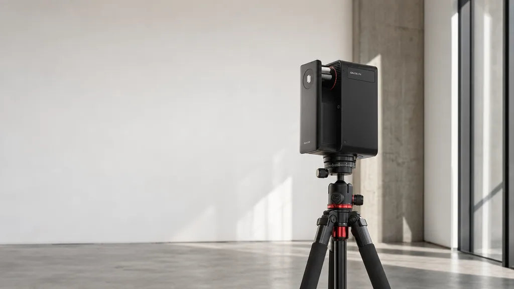
Advanced platforms process the raw points into usable design assets automatically. The Realsee Galois P4, for example, can generate CAD files directly from scan data. Users can request automatic floor plans and highly detailed architectural elements. A single scan creates the entire suite of required architectural deliverables.

Textured Mesh Formats
The raw points convert easily into solid surface models for rendering software. The software connects the dots to form a continuous digital mesh. The OBJ and FBX file types handle complex surface geometries well. Developers use these files to build immersive digital environments for virtual reality applications. Teams can also review Realsee guidance for point cloud add-ons.
Start Capturing Precise Spatial Data Today
Professional workflows demand high geometric precision to succeed. Point cloud scanners eliminate manual measurement errors and streamline the entire architectural design process. You gain accurate blueprints and reliable digital models for your commercial projects. Deploy Realsee hardware to translate complex physical environments into highly accurate digital deliverables quickly.
FAQs
Q1: What is the technical difference between general lidar and specific point cloud scanning?
They refer to distinct operational concepts. Lidar describes the active light pulse technology utilized by the hardware. Point cloud scanning describes the actual process of gathering the resulting data points into a unified structural map.
Q2: Which file format works best for archiving raw point clouds?
The E57 file type serves as the optimal choice. The format stores massive amounts of coordinate data efficiently and retains broad compatibility with almost all major engineering software platforms currently available.
Q3: Can architectural teams use point clouds directly inside building information modeling software?
Yes. Most major design programs allow users to import raw point files as an initial base layer. Designers then trace over the points to build precise parametric models based on real world geometry.
Q4: Do residential real estate agents need dense point clouds for standard property listings?
No. Standard visual tours provide enough detail for general consumer marketing purposes. Dense spatial data serves strict engineering and construction requirements rather than casual online property browsing.
Q5: Does shiny glass affect the accuracy of a laser point cloud scanner?
Yes. Transparent and highly reflective surfaces often scatter active laser pulses unpredictably. The scanner might record an incorrect distance if the beam bounces off a mirror instead of returning directly to the optical sensor.




Leave a comment
เว็บไซต์นี้ได้รับการคุ้มครองโดย hCaptcha และมีการนำนโยบายความเป็นส่วนตัวของ hCaptcha และข้อกำหนดในการใช้บริการมาใช้