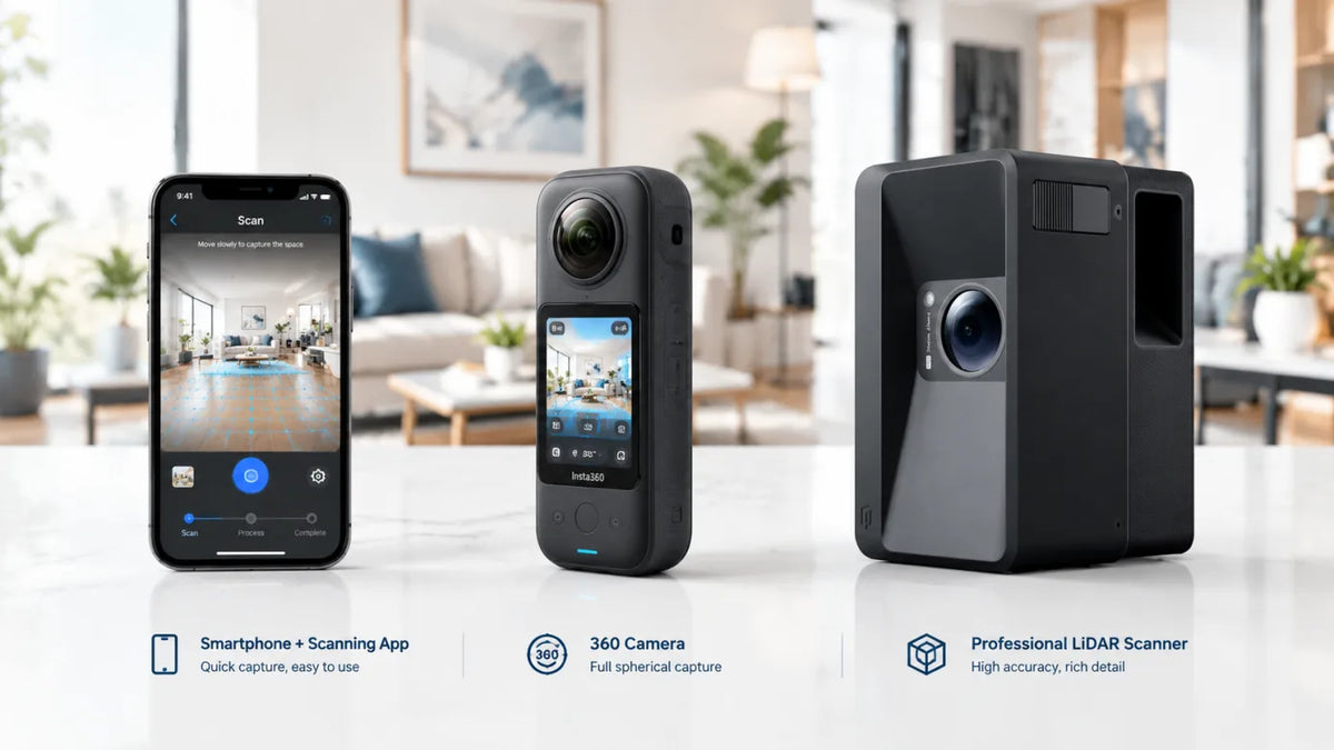
As-built surveys give you a measured record of what exists now, before a closeout, approval, renovation, handoff, or model update exposes a costly gap. The accurate result comes from matching the capture method, survey control, requested tolerance, and deliverables to the decision ahead. For legal boundaries or sealed documents, use a licensed professional where local rules require one.
When Do You Need an As-Built Survey
Formal post-construction verification is the core reason to commission an as-built survey. Property owners, developers, and general contractors need one whenever an approval, closeout, or future decision depends on field conditions rather than on an old plan set. A local authority may require a certified record before final approval or a Certificate of Occupancy, but the exact requirement varies by jurisdiction and project type.
Other situations call for the same level of care:
- A construction closeout, when the owner or agency requires documented locations, elevations, setbacks, or installed changes before acceptance.
- A civil or site-improvement project, when grading, drainage, road edges, foundations, utilities, or other improvements must be checked against approved plans.
- A tenant turnover or facility handoff, when the incoming team needs a reliable record of rooms, assets, and visible systems.
- An insurance, maintenance, or compliance review, when the file needs to reflect the current site.
- A future building information modeling project, when the modeling team needs current source data instead of assumptions.
Without a current survey, the team may design around a wall that moved, a drainage line at the wrong elevation, or equipment that is not where the drawings show it. The Federal Highway Administration describes digital as-builts as a way to track, document, and archive asset information from delivery through asset management, including usable 2D and 3D data. Its digital as-builts overview is a useful example of why the record should support the next phase of work, not merely close a file.
What Is an As-Built Survey?
If you are asking "what is an as built survey?", it is a field-verified record of a building or site as it physically exists at the time of capture.
It can document dimensions, elevations, room geometry, structural features, visible mechanical, electrical, and plumbing elements, plus foundations, grading, drainage, utilities, and other site improvements that matter to the project.
As-Built Survey vs. As-Built Drawings
An as-built survey is the measurement and evidence-gathering activity. As-built drawings are a drawing-based record created from verified field conditions and construction changes. The drawings, models, point clouds, photographs, and reports are possible deliverables from that activity.
This is different from original design drawings, which show what was intended. The term "as builts" can also mean different things in a contract or a local jurisdiction, so confirm the requested scope before work begins: which areas are included, what needs to be located, the required coordinate system or datum, the target tolerance, and the output the recipient can actually use.
How an As-Built Survey Is Performed
A dependable as built survey follows a defined field-to-delivery process. The method can range from conventional surveying to laser scanning or LiDAR capture, but the work should always begin with the required use of the data.
Site Scope and Control
Start by identifying the spaces, features, and reference points that matter. A provider should confirm whether the task needs floor-to-floor dimensions, exterior elevations, equipment locations, utility features, or a full interior record. Where the work relies on a coordinate system, the survey team establishes or verifies horizontal and vertical control before capture.
Field Capture and Registration
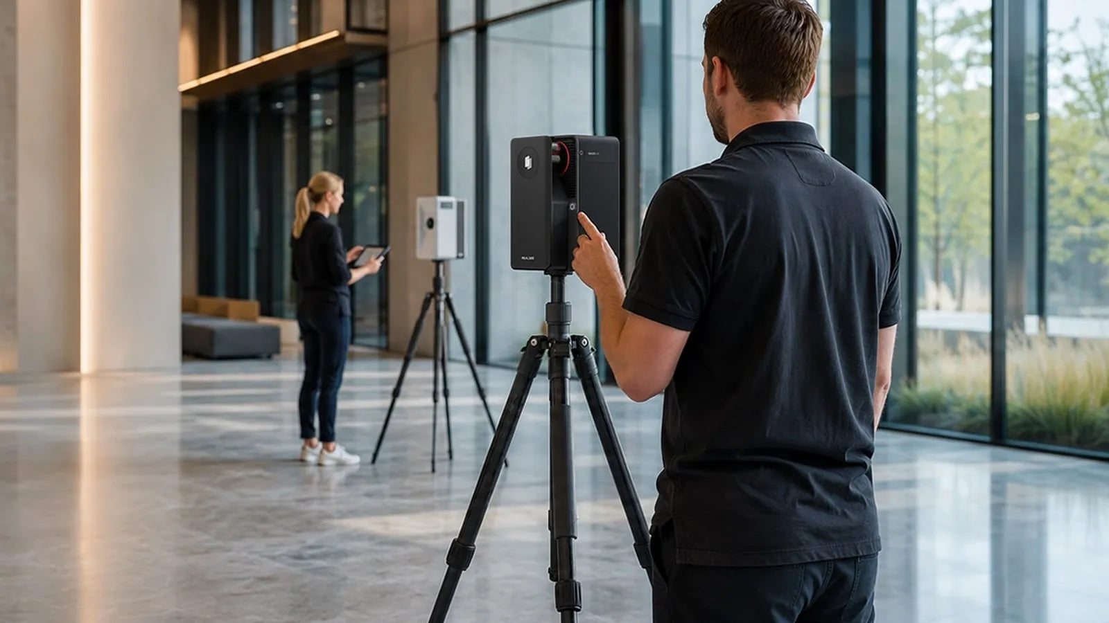
Next, the team captures the physical conditions with measurements, photographs, laser scans, LiDAR scans, or a combination of methods. Multiple scan positions are registered into one coordinate-aware dataset, then checked for gaps, drift, moving objects, reflective surfaces, and areas that need supplemental measurement.
Quality Review and Delivery
Finally, the team compares the captured data with the agreed scope, applies the requested tolerance checks, and prepares the ordered files. Do not accept a generic export without a short review meeting. Confirm what was measured, what was inferred or omitted, the capture date, and the accuracy statement attached to the final data.
What Determines Survey Accuracy
Accuracy is determined by the entire workflow, not by a scanner specification alone. A capable device still needs appropriate control, sufficient scan overlap, clear sight lines, correct registration, and a final quality check against known dimensions or control points.
| Accuracy Factor | Why It Matters | Question to Ask |
|---|---|---|
| Required tolerance | A renovation layout may need tighter tolerances than a visual record. | What tolerance is required for this decision? |
| Survey control | Control keeps measurements tied to the right reference system. | Which control points and datum will be used? |
| Capture coverage | Hidden, reflective, or blocked areas can create gaps. | Which areas need supplemental measurement? |
| Registration and review | Poor alignment can make a detailed dataset unreliable. | How will the dataset be checked before delivery? |
| Capture date | A correct record becomes stale after later site changes. | What changes occurred after the survey date? |
For a project that requires a certified boundary, legal elevation, or sealed document, confirm the applicable state and local requirements before commissioning the work. A capture workflow can supply valuable spatial data, but it does not replace a licensed surveyor's responsibility where one is required.
What to Expect in an As-Built Survey Deliverable
The right deliverable is one your next team can open, understand, and act on. Ask for a package that states the project scope, capture date, accuracy or tolerance, coordinate information where relevant, and clear notes about exclusions or inaccessible areas.
- Depending on the assignment, the package may include:A measured floor plan, drawing set, or annotated PDF for quick reference.
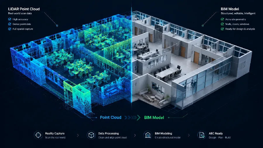
- A point cloud for detailed spatial review or downstream modeling.
- A three-dimensional model or CAD-ready file for design coordination.
- Panoramas or a navigable 3D view that helps remote stakeholders confirm context.
- A concise field report that identifies control, assumptions, and exceptions.
File type should follow the receiving workflow. A facilities team may need an easy-to-share PDF and visual record, while a design team may need CAD-compatible data or a point cloud for its own modeling process. The Federal Highway Administration notes that digital asset records can include formats such as DWG, IFC, PDF, LAS, and reality meshes, which reinforces a simple rule: agree on the handoff format before capture begins.

Capturing As-Built Surveys With Realsee's LiDAR Cameras
For interior and commercial-space documentation, a LiDAR workflow can create a richer site record in one visit, while the licensed professional remains responsible for any regulated surveying scope. Our Galois P4 is designed for high-density point cloud capture alongside 3D tours, 3D models, CAD outputs, floor plans, RAW images, and 3D snapshots.

On the current P4 product page, we list capture at around 16 seconds per scan point, a scanning range up to 100 meters, and up to 125,600 point clouds per second. Those capabilities can help a team document large interiors, record existing conditions before a remodel, and provide an exportable starting point for a separate design or modeling workflow. They do not remove the need to define project control, tolerance, and verification methods.

Our architecture and interior design workflow shows how a site record can move from field capture to exports such as E57, DWG, and OBJ. For a project with a formal survey requirement, align that capture plan with the licensed surveyor or responsible professional before the visit, rather than treating the hardware output as a sealed survey by itself.
In-House Survey or Hiring a Provider
Build an in-house workflow when documentation is recurring, the scope is consistent, and your team can own both capture and quality control. Hire a provider when the project is one-off, needs licensed survey work, has complex control requirements, or carries a high cost for a missed condition. For a developer or general contractor, that decision should also account for the contract's approval, certification, and record-drawing requirements.
| Your Situation | Usually the Better Starting Point |
|---|---|
| One renovation with regulated or certified deliverables | Hire a qualified provider and confirm credentials early. |
| Repeated documentation across a portfolio | Build an in-house capture workflow with a documented quality process. |
| Large or complex existing conditions | Use a provider, or pair an internal capture team with specialist review. |
| A small visual record for facilities reference | In-house capture may be practical if the tolerance is modest and clear. |
The decision is not only about the price of a visit. Include training time, site access, safety planning, software, data storage, rework risk, and the cost of sending someone back to the property. If you are building a repeatable program, talk with our team about a capture workflow that fits your required outputs and review process.
Start With a Survey Scope Your Team Can Use
Accurate as-built surveys begin before anyone arrives on site. Define the decision the record must support, the features that need verification, the required tolerance, and the handoff format. Then choose a qualified provider or an internal workflow that can meet that brief. Realsee can help teams capture reusable spatial data for documentation, design context, and visual review.
FAQs about As-Built Survey Practices
Q1: Does an As-Built Survey Establish a Property Boundary?
Usually, no. An as-built survey for design, construction, or facilities documents physical conditions within the agreed scope, while a boundary survey addresses property lines and legal land interests. If a project depends on a boundary, easement, or setback, request the appropriate licensed land-surveying service rather than assuming a building record answers that question.
Q2: What Should I Send a Provider Before an As-Built Survey?
Send the latest available plans, the address and access constraints, the intended use of the final data, and the contact for site questions. Also identify restricted rooms, safety requirements, desired files, and any known changes. That information lets the provider price the right scope instead of discovering critical gaps after the site visit.
Q3: Should I Update an As-Built Survey After a Small Renovation?
Update it when the change affects future decisions. Moving a noncritical piece of furniture may not justify a new record, but altered walls, doors, equipment, utilities, or life-safety features often do. Keep the original capture date visible and record the affected area, so teams know which parts of the file remain current.
Q4: Can a Point Cloud Show Conditions Above a Ceiling or Behind a Wall?
No, not when those conditions are hidden from the sensor. A point cloud records visible surfaces from its scan positions, so concealed utilities, structure, and inaccessible spaces require another inspection method or existing records. Flag those limitations in the scope instead of treating an apparently complete 3D view as proof of unseen conditions.
Q5: Can an As-Built Survey Help Plan Accessibility Upgrades?
Yes, it can give the design team a current reference for routes, door openings, level changes, and existing fixtures before accessibility planning begins. It does not certify code compliance by itself. The responsible designer or code professional still needs to assess the applicable requirements and verify the final design in the field.