


Exploring the Future of 3D Scanning with Louis Pont and Aerial Perspectives Australia
Louis, founder of Aerial Perspectives Australia, uses the Realsee Galois 3D LiDAR camera to deliver immersive 3D walkthroughs, aerial photography, and spatial mapping for clients across various ind...

How to connect aerial panoramic images with 3D tour?
This article explains how to connect aerial panoramic images with Realsee 3D tours, providing users with a more comprehensive and immersive spatial exprience.

Leverage Galois' Co-Capture functionality for efficient 3D scanning in large spaces.
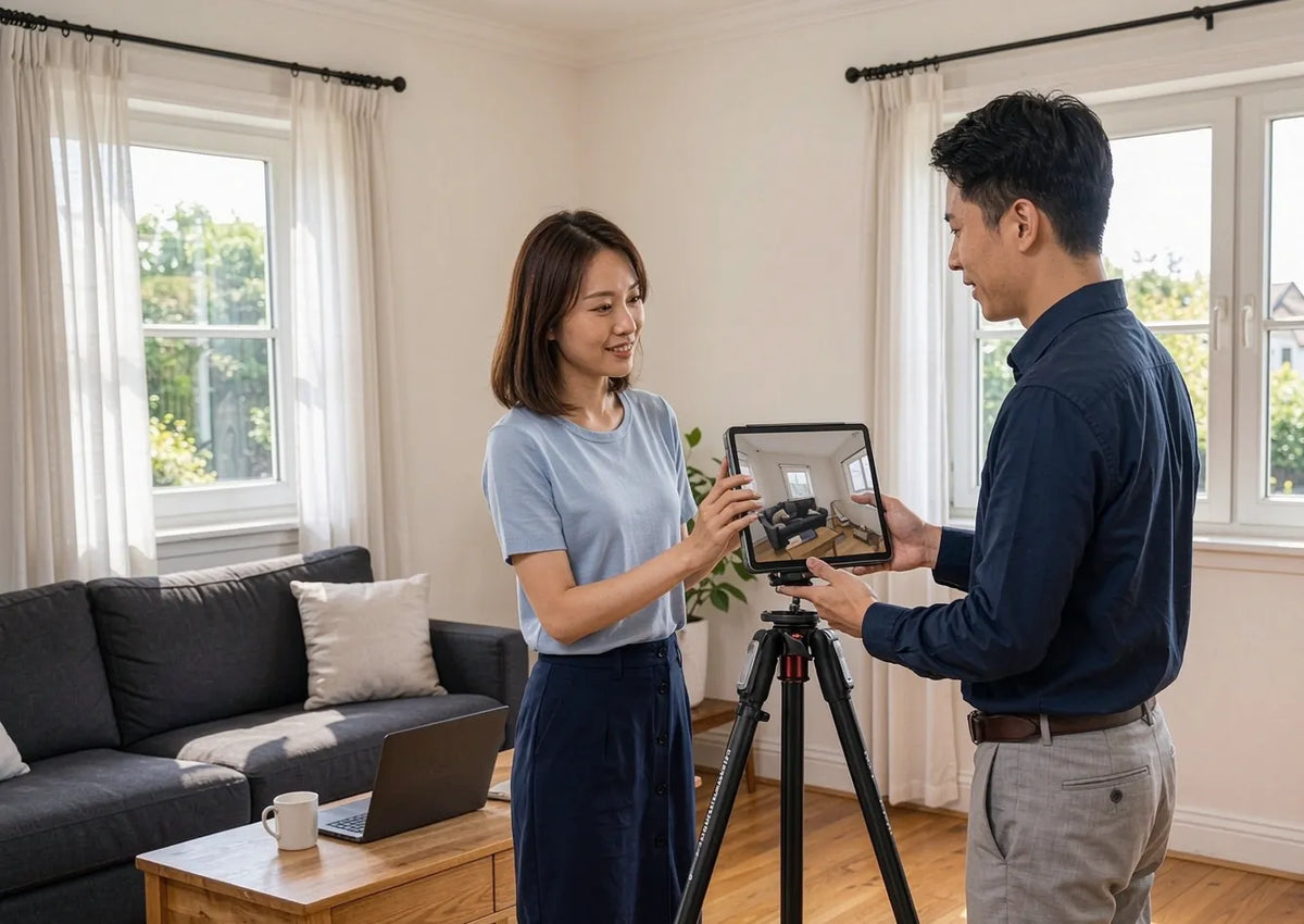
Beike and Realsee: Transforming Real Estate Through Technology
See how Realsee brings accuracy to online listings with 3D capture, helping Beike reduce uncertainty and create a clearer home viewing journey.
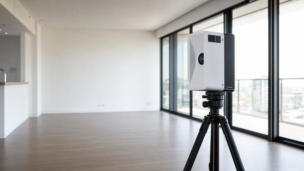
Pano to 3D Feature — How the Pano to 3D feature converts panoramic captures into a connected, navigable 3D tour, and the steps to use it on an existing set of panoramas. Updated with new photograph...
Realsee Console Upgrade Overview
Realsee Console Upgrade Overview