


Create 3D Tours Without a Monthly Subscription: How Realsee Works
Want to create professional 3D virtual tours without mandatory monthly subscription fees? Discover how Realsee’s credit-based, pay-as-you-go workflow gives you flexibility across smartphones, 360...
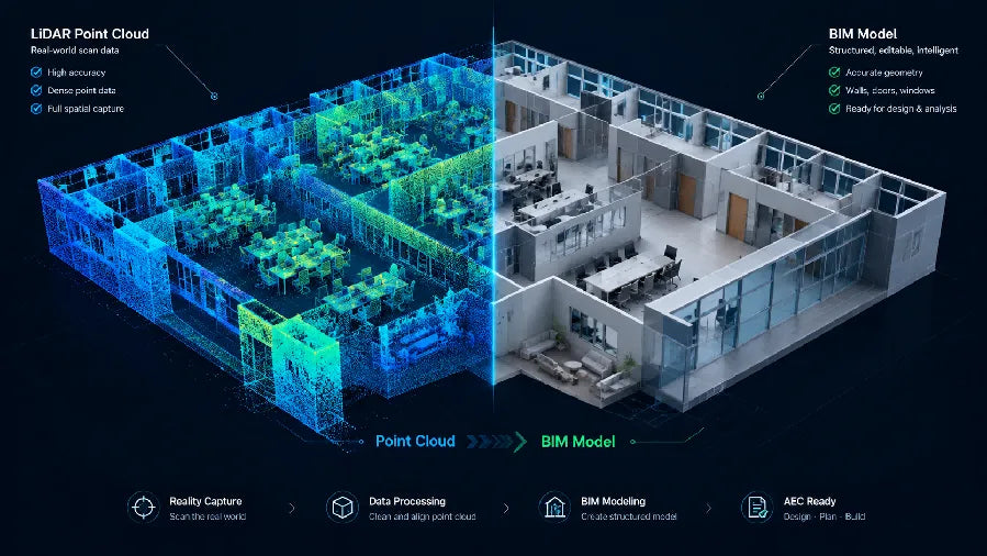
Point Cloud to BIM Workflow: How to Turn Site Scans into BIM Models
Scan planning, non-destructive point cloud cleanup, BIM import alignment, and LOA-based verification for renovation and as-built deliverables.

3D Scanning for Disaster Recovery: Document, Plan and Rebuild with Realsee
Discover how Realsee helps disaster-recovery teams document fire, flood, earthquake, and storm damage using 3D tours, floor plans, CAD files, and point clouds.

How to Build a 90-Day Real Estate Marketing Plan for a New Listing
Weekly scorecards, staged asset refreshes, and a day-by-day template guide the launch, feedback, and repositioning phases of a new listing.
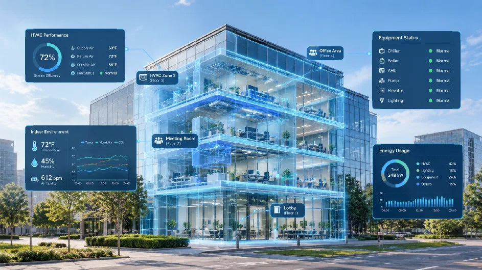
Smart Building Technology: Where Digital Twins Fit in the Building Data Stack
Smart building technology connects live data to real rooms and equipment. Digital twins add spatial context without replacing automation, IoT.
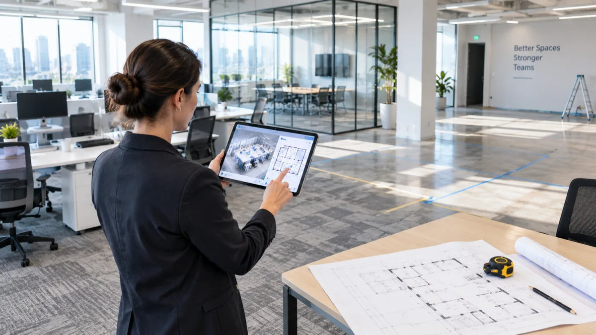
Office Space Planning: How to Start With Accurate Existing Conditions
Learn how accurate existing conditions and real work patterns shape office space planning, reduce rework, and support hybrid teams before construction or furniture changes.