


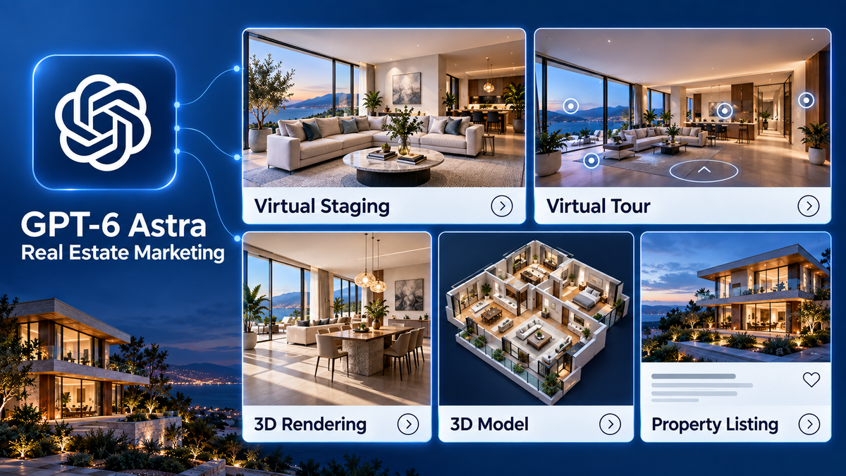
GPT-6 Astra for Real Estate Marketing: From Listing Content to Virtual Staging
Explore GPT-6 Astra for real estate marketing, from listing content and virtual tours to virtual staging and 3D visualization.
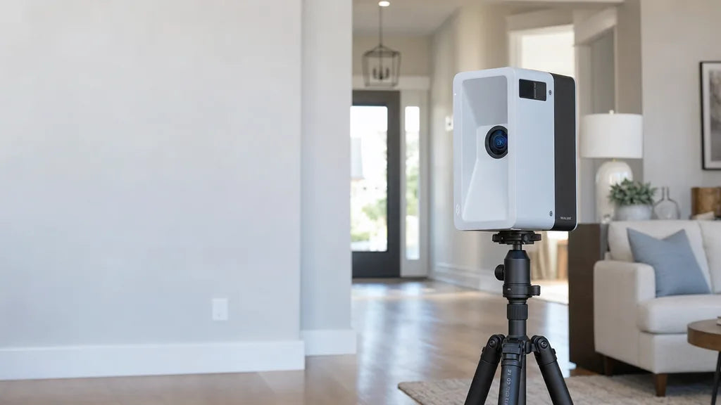
How Property Management Teams Can Generate and Convert Rental Leads With 3D Tours
Learn how property teams turn 3D apartment tours into rental leads. Discover how floor plans, Albums, and interactive CTAs convert online views into booked tours and qualified leases.

Commercial Real Estate Marketing: Strategies for Office, Retail, and Industrial Listings
Commercial prospects judge operational fit, not lifestyle. Here is how photography, aerial context, 3D walkthroughs, and floor plans work together so a broker, owner, and operations lead can all re...
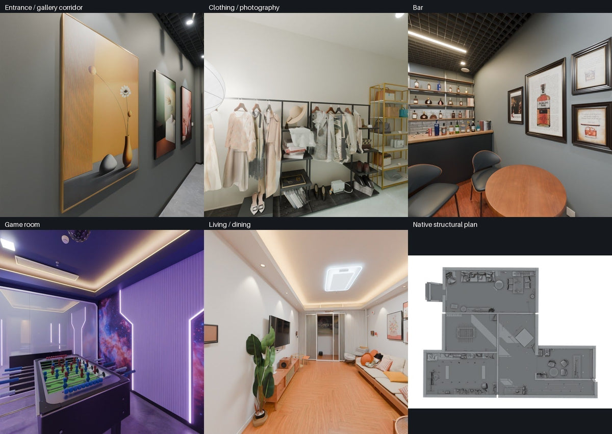
How to Build an Editable Blender Scene from Realsee Galois Outputs with GPT‑6 Astra
See how Realsee Galois outputs—3D models, point clouds, panoramas, and CAD references—help GPT‑6 Astra build an editable Blender scene for redesign, renders, and walkthroughs.
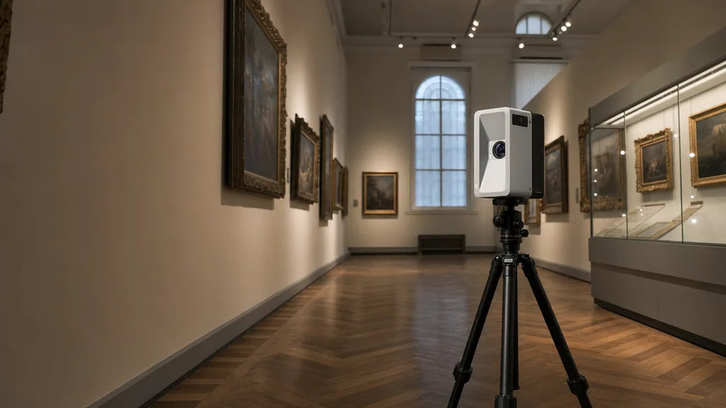
Virtual Museum Tours: Why They Are Popular and How to Create One for Your Institution
A virtual museum tour earns its place when visitors can move through the real galleries at their own pace. Here is what makes one worth exploring, how to plan an artifact-safe capture window, and h...
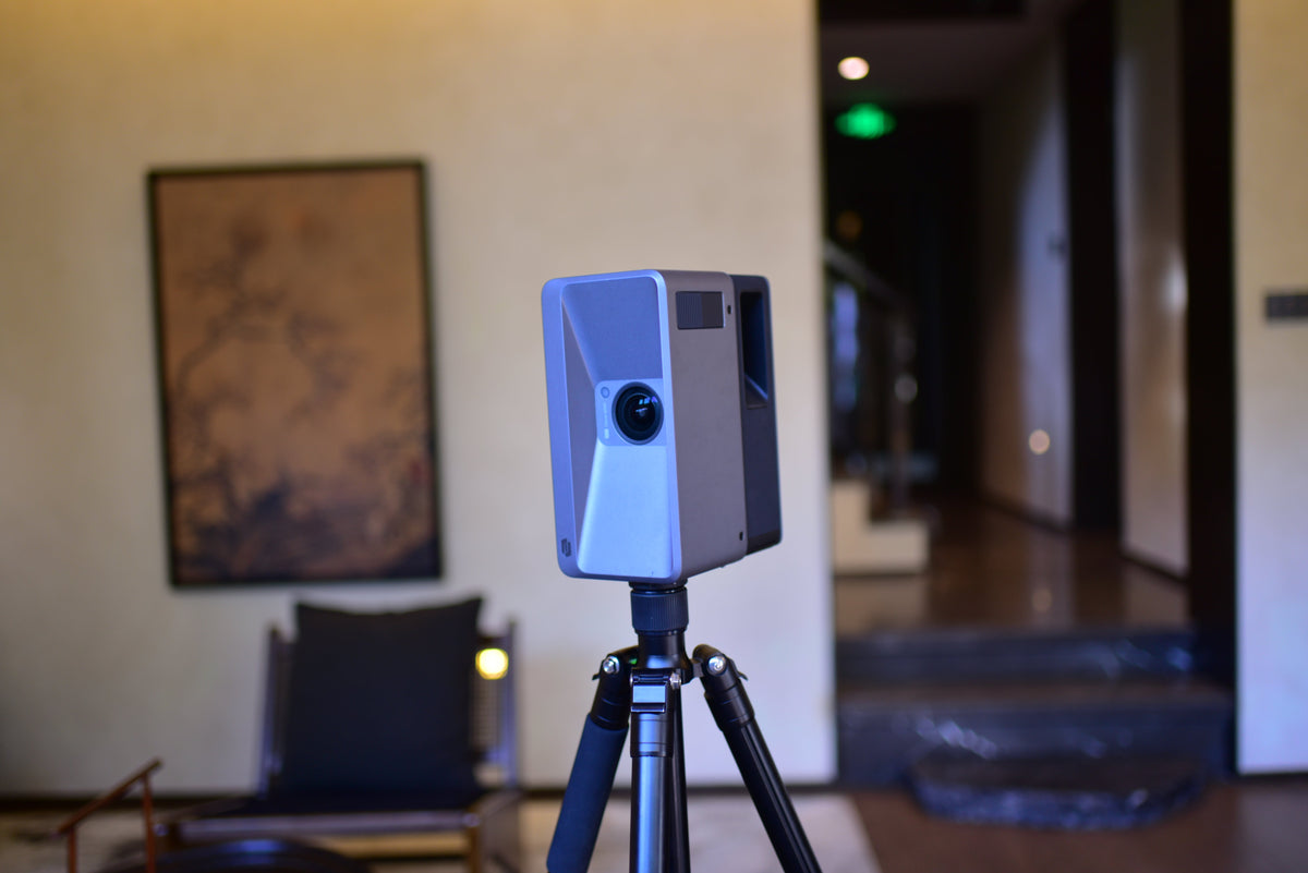
Commercial Real Estate Photography: How to Create, Share, and Scale 3D Property Experiences
A practical guide to creating and sharing commercial real estate photography with 3D tours, floor plans, video, panoramas, interactive labels, and multi-space workflows.