


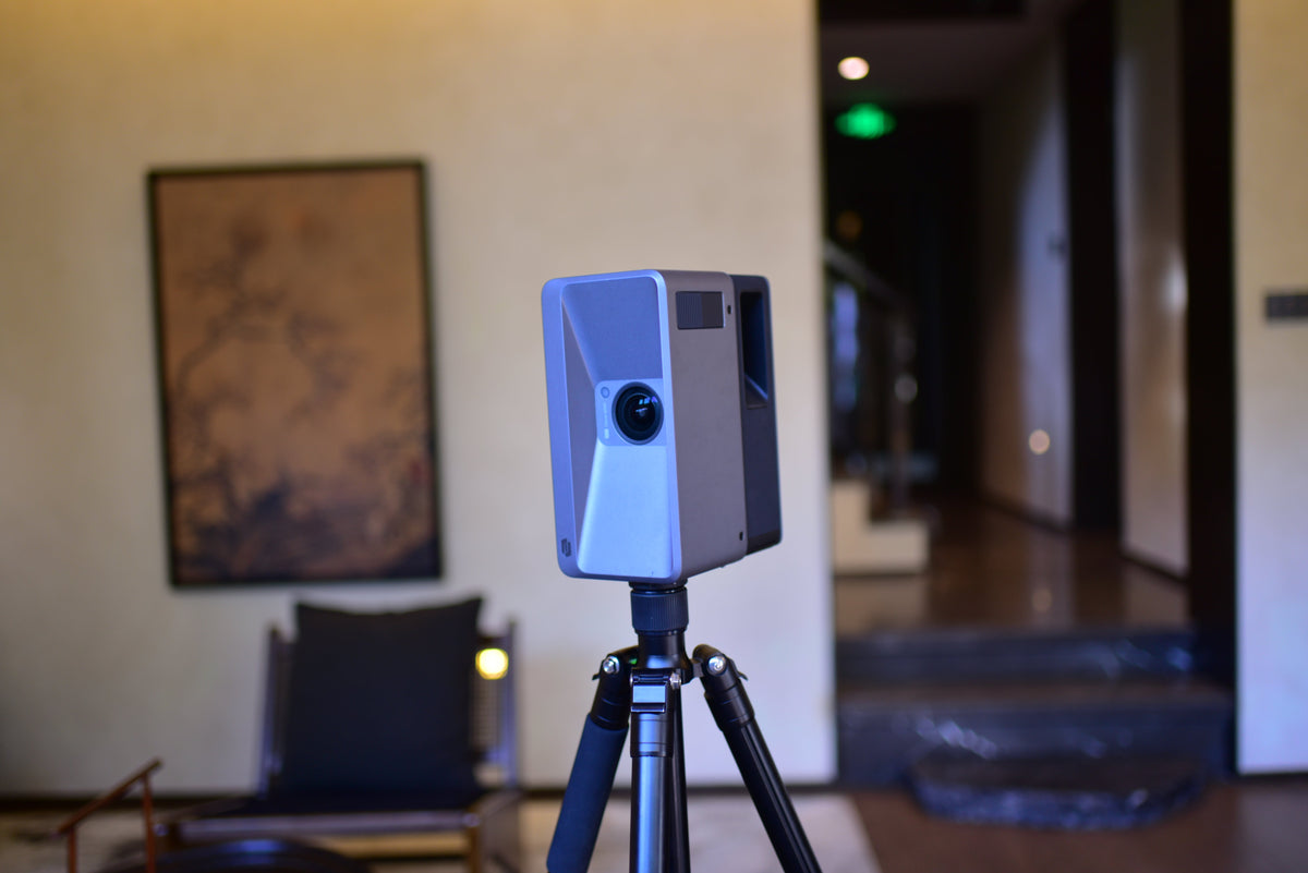
Commercial Real Estate Photography: How to Create, Share, and Scale 3D Property Experiences
A practical guide to creating and sharing commercial real estate photography with 3D tours, floor plans, video, panoramas, interactive labels, and multi-space workflows.
Notice: Galois P4 E57 Import Compatibility & Workaround Solutions
Having issues importing Galois P4 E57 files into Autodesk ReCap Pro? Learn about the root cause related to ultra-high-resolution embedded panoramas, our ongoing system optimization, and temporary m...
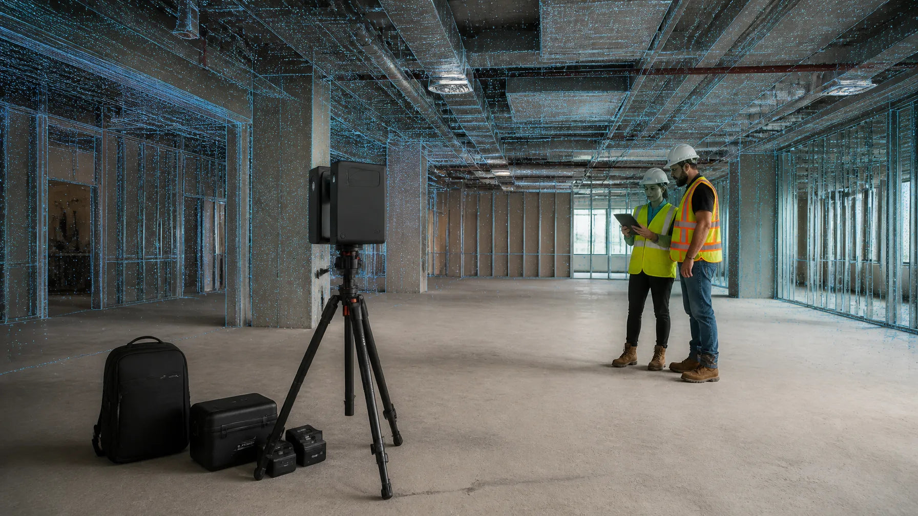
What Is Virtual Design and Construction (VDC)? How It Prevents Costly Field Conflicts
VDC, BIM, and scan-to-BIM are not the same thing. See which does what, who owns coordination, and which as-built data you need before the next install starts.
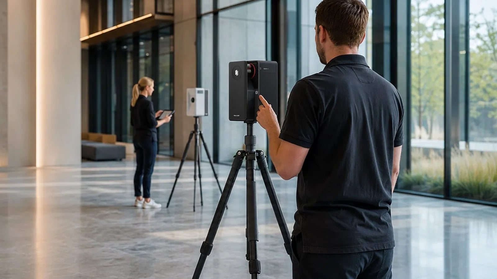
As-Built Surveys: When You Need One and How to Get an Accurate Result
An as-built survey records conditions before approval, closeout, or handoff. See when you need one and how method, control, and deliverables drive accuracy.
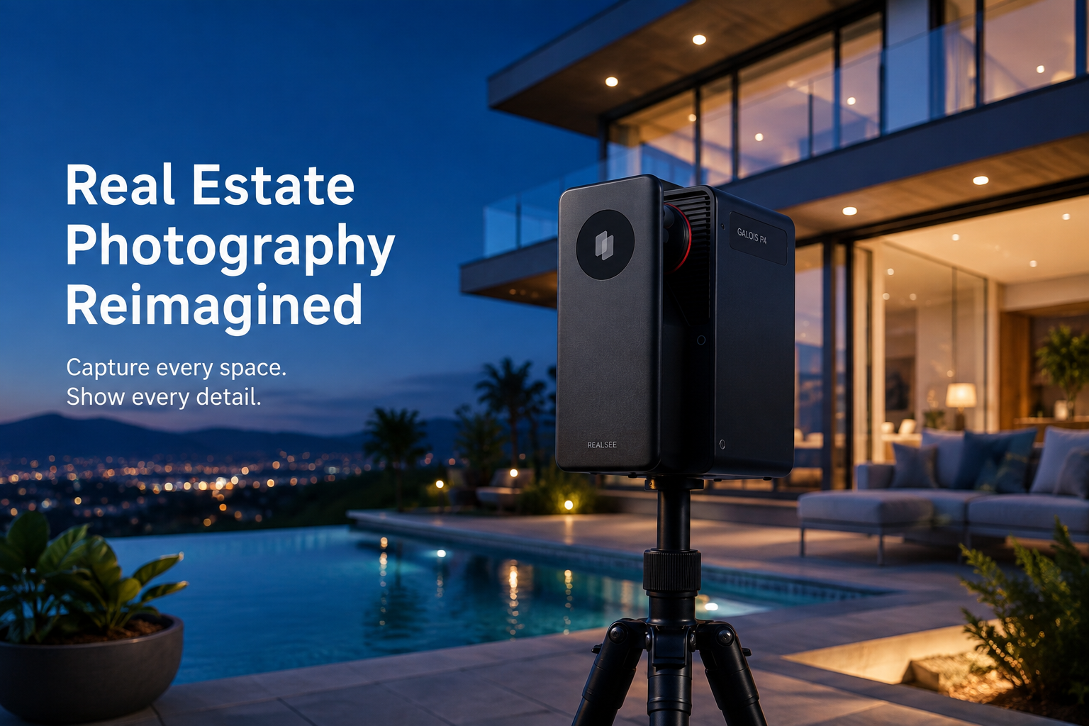
Real Estate Photography: A Complete Guide 2026
A complete guide to real estate photography: how to shoot it, what to capture, and how to turn one real estate photography session into photos, 3D tours, and floor plans.
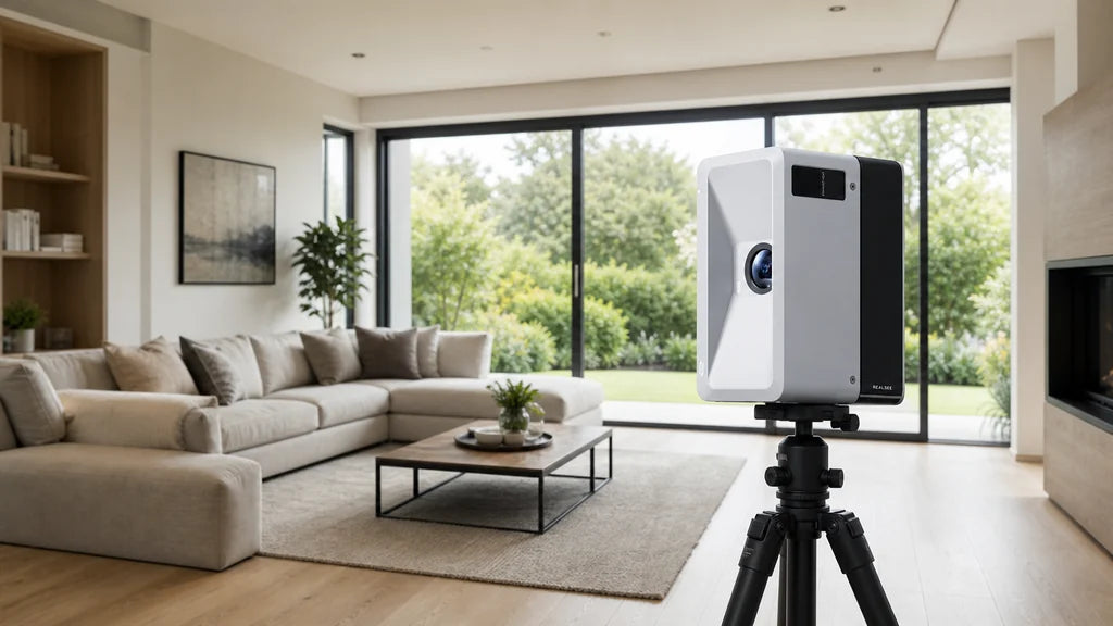
LiDAR Scanner Guide 2026: How to Choose a 3D LiDAR Camera for Real Estate
How to choose a 3D LiDAR camera for real estate in 2026: what a lidar scanner does, what to check before buying, and how the top models compare.