This video provides a comprehensive overview and hands-on review of the Galois P4, a professional-grade 3D LiDAR mapping camera designed to simplify and enhance the creation of ultra-realistic virtual tours and digital replicas of real-world spaces.
The presenter details the product’s unboxing, features, real-world testing across various environments, editing workflow, deliverables, pricing structure, and overall usability, highlighting how this camera improves upon traditional 360 cameras and earlier models like the M2.
Key Features and Included Accessories
-
Complete professional kit includes:
-
Galois P4 camera.
-
2 batteries with a charging dock for continuous operation.
-
Quick-release
-
Two hard carrying cases:
-
Molded case for the camera.
-
Utility case for batteries and accessories.
-
-
Realsee branded backpack, designed to fit the camera kit and accessories comfortably.
-
Manfrotto carbon fiber tripod: lightweight, durable, and easy to adjust for on-site mobility.
-
-
Premium unboxing experience noted with thoughtful packaging and organization.
Performance & Testing
Outdoor Range and Efficiency
-
Tested in an open outdoor space with nearby and distant foliage.
-
Impressive LiDAR range, capable of mapping not only nearby structures but also distant tree lines.
-
Resulted in fewer scan points and faster movement between positions.
-
Provided more efficient coverage and better stitching than previous models (e.g., M2).

Indoor and Construction Site Mapping
-
Tested in a multi-level, partially finished property, including a basement with exposed framing.
-
Successfully mapped uneven ground and cluttered construction debris without alignment issues.
-
Demonstrated ability to maintain strong alignment even with wider spacing between scan points, reducing time on site.
-
Worked well in low lighting conditions due to LiDAR’s distance-based laser measurement, unlike traditional cameras that depend on ambient light.

Scan Workflow and Usability
-
Capture process is straightforward:
-
Connect the camera to a mobile app.
-
Place the camera, hit “scan,” and wait for about one minute for the scan to complete.
-
Preview a full 360 image and a 3D map on the phone within 20–30 seconds.
-
Move point-to-point along natural pathways, ensuring line-of-sight between scan positions.
-
-
Forgiving spacing and extended range reduce the need for precise, close scan locations, increasing efficiency in complex environments.
Post-Processing and Editing
-
Completed scans produce a complete 3D virtual tour with:
-
Smooth navigation between spaces.
-
Full 360° view and a 3D dollhouse layout showing an overview of the entire property.
-
Clean, accurate 3D models with strong spatial coherence.
-
-
Realsee console editor for post-processing includes:
-
Project customization (info, initial views, branding).
-
Interactive elements: hotspots, labels, multimedia embedding.
-
Floor plan creation, guided routes, and AI-assisted adjustments (e.g., blur or object removal).
-
Intuitive interface friendly for users without significant 3D or CAD experience.
-
-
Editor allows in-app fixes for scan errors post-capture, such as aligning floors/fixing staircases when multiple levels don’t scan perfectly. This flexibility greatly enhances accuracy and saves additional on-site reshoots.

Deliverables Generated from a Single Scan
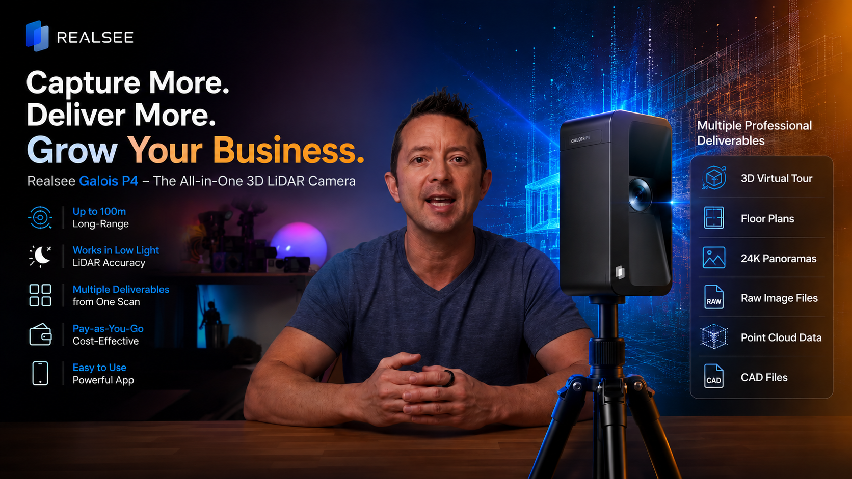
The Galois P4 system provides multiple professional-grade outputs from one capture, addressing diverse user needs across industries:

This robust suite of outputs positions the Galois P4 as more than a camera — a versatile tool for creators, real estate professionals, architects, and construction teams, enabling cost and time savings, reducing site visits, and generating multiple monetizable assets.
Pricing and Software Model
-
Retail price: $7,499, categorizing it as a professional-grade device.
-
No mandatory monthly subscription; uses a credit-based system for software usage and deliverables.
-
Credits are consumed based on activities like hosting tours or exporting deliverables (point clouds, CAD files, panoramas).
-
Starter credits are included, allowing users to experiment with the system risk-free before a significant investment.
-
This scalable pay-as-you-go model suits businesses of varying usage levels and prevents locking into long-term subscription fees.
-
Credits can be accounted for in client pricing, simplifying cost structuring for service providers.
-
Advantages Over Traditional 360 Cameras and Previous Models
-
Reduced complexity and time: scanning a space only requires placing the camera and hitting scan, with minimal overlapping needed.
-
Extended scan range allows fewer scan points with no compromise in accuracy, greatly speeding up the capture process.
-
Robust stitching and alignment even under challenging conditions like unfinished interiors, poor lighting, and outdoor landscaping.
-
Multi-deliverable outputs extend usability beyond just virtual tours, into architectural and construction workflows.
-
Intuitive UI and AI tools reduce post-processing effort.
-
The entire solution is well-integrated from hardware to software, creating a streamlined workflow from capture to final output.
-
Compared to the previous M2 model, the P4 provides better range, faster capture, and more flexibility.
Key Insights and Conclusions
-
The Galois P4 camera offers significant improvements in ease of use, range, and deliverable diversity over traditional 360 cameras and prior 3D mapping solutions.
-
Its LiDAR-based scanning is less dependent on ambient lighting, enabling accurate mapping in low-light and complex environments.
-
The ability to generate multiple types of professional assets from one capture session boosts productivity and opens new monetization opportunities.
-
The pay-as-you-go software credit system is cost-effective and scalable, removing financial barriers for small and growing businesses.
-
Overall, the Galois P4 is positioned as a versatile, comprehensive solution for content creators, real estate agents, architects, and construction professionals seeking to digitize physical spaces quickly and accurately.
-
The intuitive app and editing tools support users of varying experience levels, making high-quality 3D mapping accessible and efficient.
Recommendations for Interested Users
-
Ideal for professionals who need accurate, detailed 3D scans and virtual tours with minimal setup and processing time.
-
Particularly valuable for real estate marketing, architectural design, construction documentation, and immersive content creation.
-
The modular, scalable software license/purchase model makes it accessible for both occasional users and high-volume commercial operators.
-
The inclusion of multiple accessories and a professional carrying solution makes it practical for frequent travel and multi-site projects.