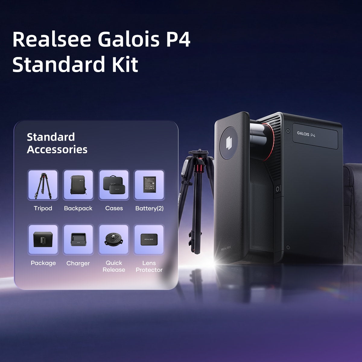
Realsee Galois P4 3D LiDAR Scanner Standard Kit

Automated 24K 300MP 3D LiDAR Scanner
- 905 nm Laser LiDAR
- Radar FOV: 360° × 310.5°
- 0.1-100m range(@90% reflectivity)
- < ± 10 mm measurement error (@0.1-15m)
- Scan Rate: 125,600 pts/sec
- Camera resolution: Approx. 47MP
- 3D Tour Resolution: 24K
- Output pano pixels: 24576*12288 pixels
- CMOS: 4/3 inch
- Number of exposures per HDR frame:5
- White Balance: Automatic



Multiple applications
Galois P4 3D LiDAR Scanner
Ultimate LiDAR tool for any-space immersive 3D tours
Built to Set the Standard
The Galois P4 Advantages
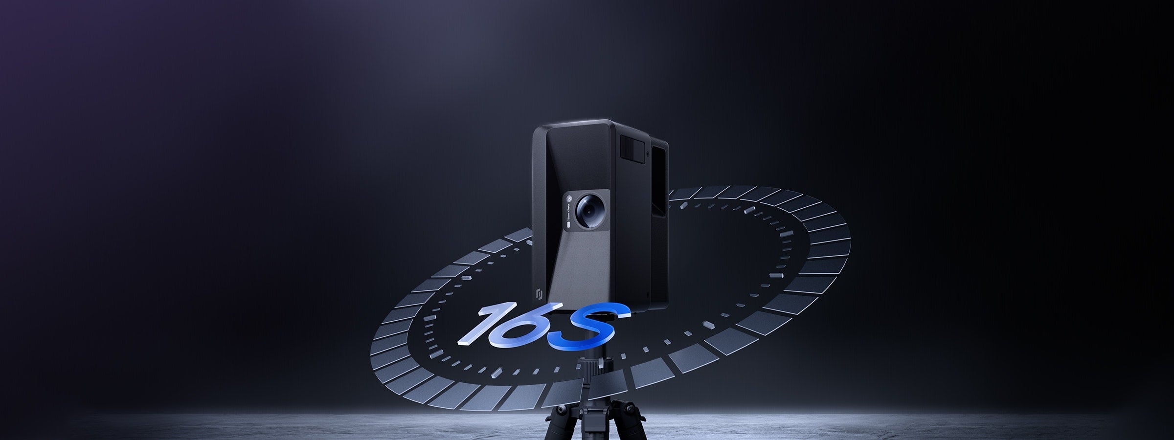

16s Ultra-fast Scanning
16-second lap ultra-fast scanning per scan point, doubling efficiency.
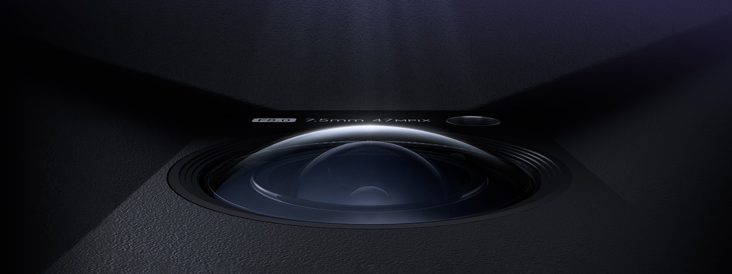

300-megapixel, 24K HD
47-megapixel lens, revealing every details
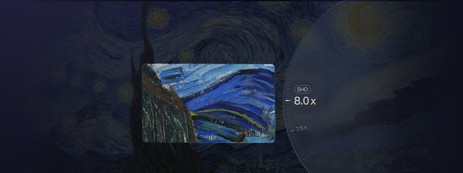

8X Lossless Zoom
Infinite zoom, unparalleled clarity


100-meter Scanning Radius
905 nm LiDAR, broader range
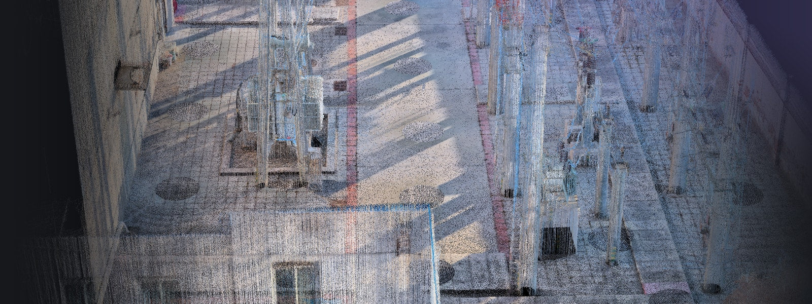

125600 Points per Second
Larger-scale high-quality dense point cloud
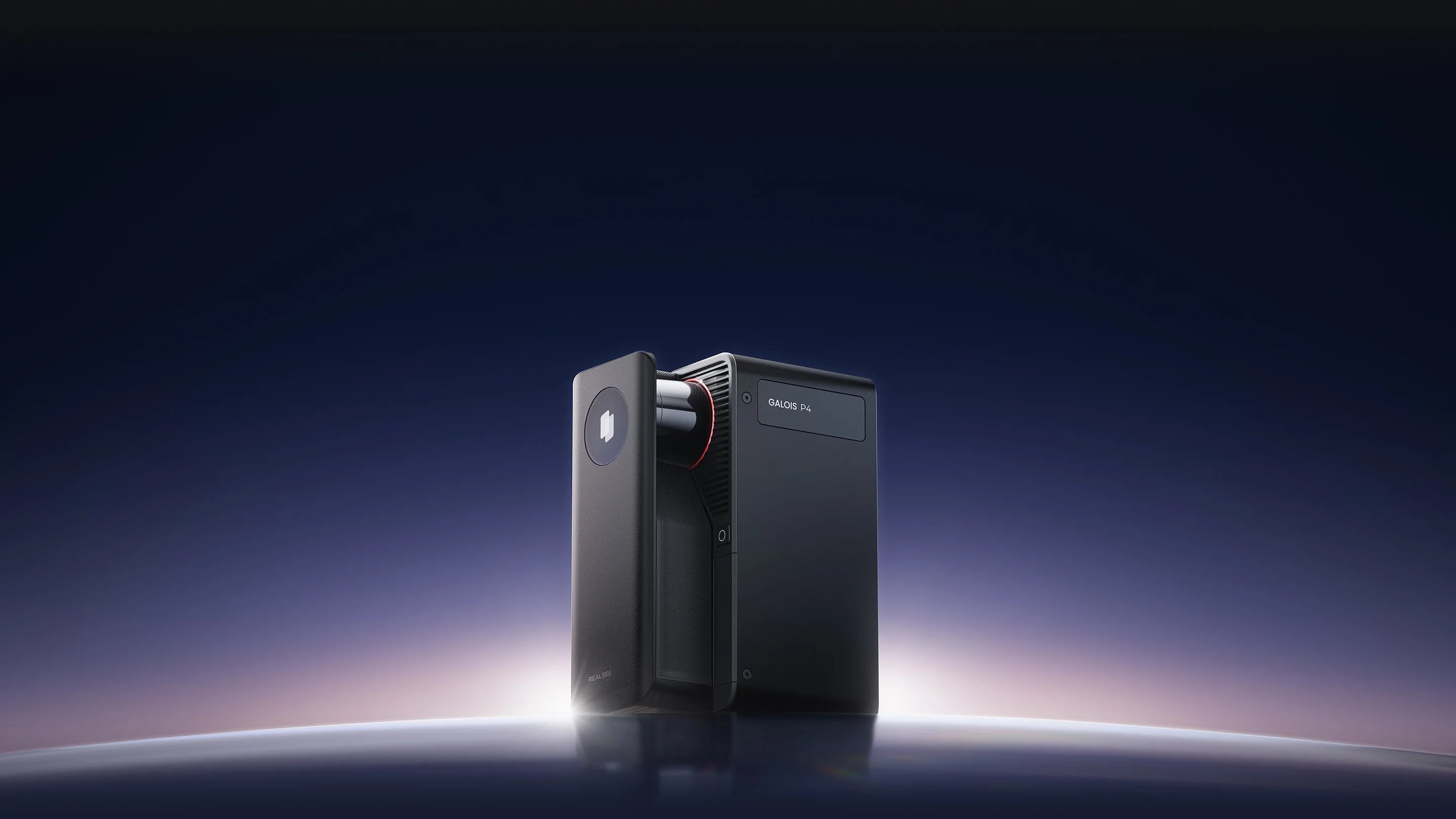
Clarity. Precision. Speed.
Realsee Galois 3D LiDAR Scanner P4
Combining a high-density point cloud LiDAR scanner with 24K ultra‑high‑definition 3D reconstruction, Galois P4 delivers 300‑megapixel imagery, 125,600 points per second, and a 16‑second single‑shot capture cycle — setting a new industry standard.

Compact and Portable Design
At just 2.6 kg (5.73 lbs, including battery) including battery, Galois is remarkably lightweight and compact, making transportation and on-site handling effortless.

Complete Kit, Ready to Scan
The Galois 3D LiDAR Camera Kit includes all essential accessories: Tripod, Backpack, Lens Cap, LiDAR Cover, Charging Kit, and 3 Battery.

Power Through the Day
Galois charges fully in just 2.5 hours and delivers up to 3 hours of continuous scanning, keeping your projects moving without interruption.
Built on Proof. Proven at Scale.




Real-world reviews. Real professional workflows.
Creators and industry professionals have put Galois P4 to the test across real-world projects
“This LiDAR Scanner Doesn't Need Your Phone - And It Changes Everything. I tested the brand new Realsee Galois P4 LiDAR scanner on 4 real-world projects and put it head-to-head against the Matterport Pro3 and Leica BLK360 G2.”
TD Vision U
Watch the reviews"Realsee Galois P4 is a professional 3D LiDAR mapping camera designed to create high-accuracy virtual tours, point clouds, CAD files, and digital twins of real-world spaces — all in a fast, streamlined workflow."
Life of Accro
Watch the reviews


Perfect Visuals, Flawless Quality
Galois P4 presents ultra-high-definition visuals, achieving unparalleled realism that captures every detail and immerses you in every single capture.


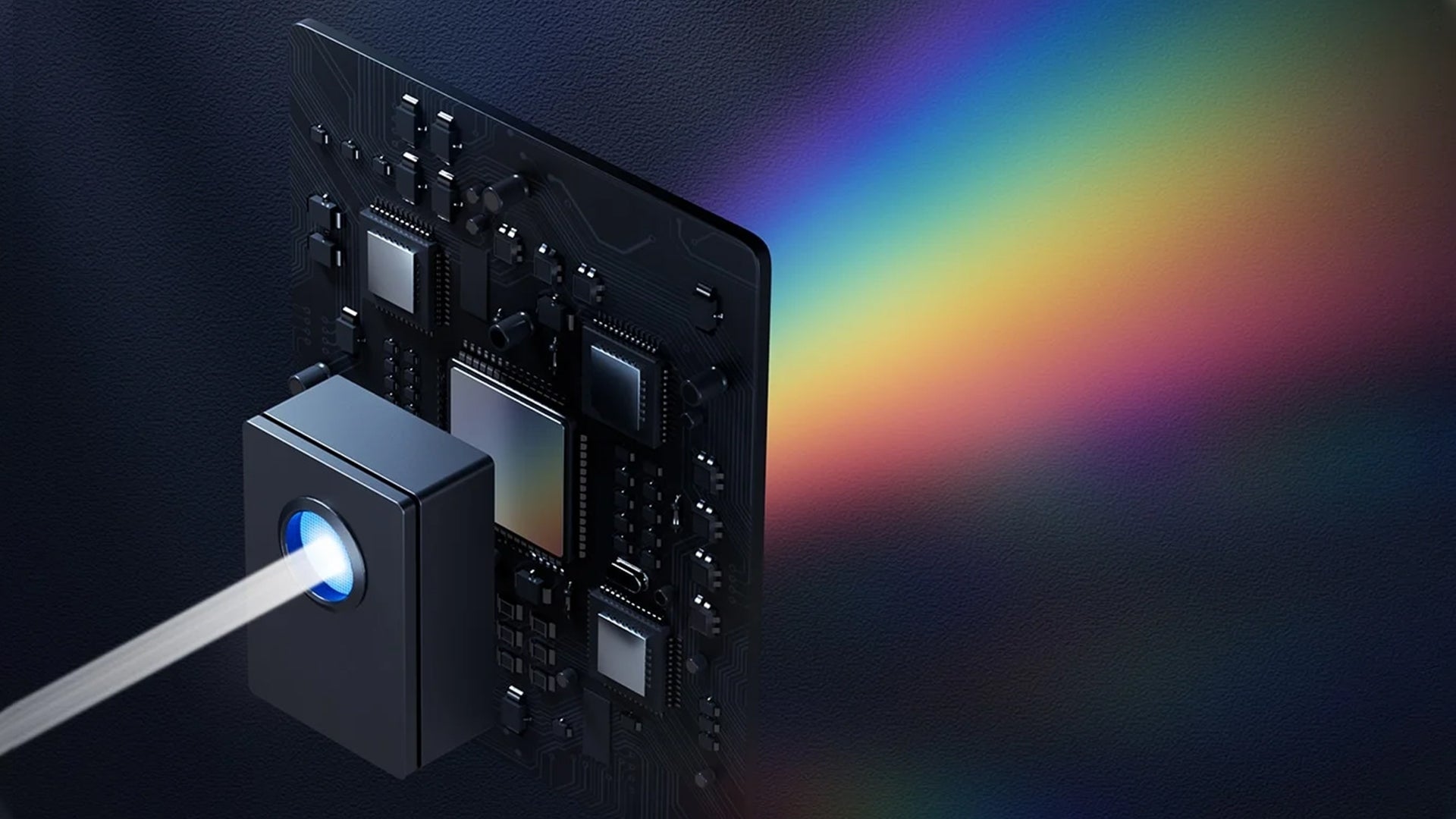


One Scan Multiple Outputs


Speed That Sets a New Standard
Galois P4 delivers instant response and a zero-learning-curve experience — redefining what efficiency means in 3D capture.

No complex setup. No training required. Just point and move to start capturing — anyone can do it.
A full scan takes only 16 seconds, with point-to-point stitching completed in just 1 second—doubling the efficiency of capture workflows. With Galois P4, a 100㎡ space can be fully captured in just 8 minutes.
It supports multi-user partitioned parallel capture, enabling synchronized and efficient progress. Data is automatically and seamlessly stitched into a unified project, simplifying the handling of large-scale spaces and significantly accelerating
No phone control needed — lift, tap, and capture blind with one touch for even simpler operation
Scan Farther. Capture Denser. View Wider
Galois P4 combines long-range deep detection, dense point capture, and a wide field of view to reveal the intricate textures of the world with ultimate spatial precision


Galois P4 extends its capture range up to 100 meters, delivering greater spatial penetration and deeper detection for higher precision in spatial understanding—empowering decisions that reach as far as your scan.
Equipped with a 905nm LiDAR, the Galois P4 captures 125.6k points/s, enabling the collection of highly detailed 3D spatial data. Every nuance of space is revealed through its dense and precise point cloud—leaving no detail unseen.
Galois P4 breaks scanning boundaries with a massive 360° × 213.25° field of view, covering wider areas and leaving no blind spots—delivering truly higher efficiency and more complete capture.
Technical Specifications
Appearance & Dimensions
- Color: Black
- Height:20.95 cm(8.2 inch)
- Width:10.4 cm(4.09 inch)
- Length:15.2 cm(5.9 inch)
- Weight:2.6 kg (5.73 lbs, including battery)
LiDAR Scanner
- 905nm Laser LiDAR
- 0.1-100m range(@90% reflectivity)
- 360° x 310.5° field of view
- < ± 10 mm measurement error (@0.1-15m)
- Scan Rate: 125,600 pts/sec
- Class 1 Safety Rating
Imaging
- Camera: Approx. 48 MP
- CMOS:4/3 inch
- Number of exposures per HDR frame:5
- Panorama Output:300 MP, 360° × 145.08° FOV
- White Balance:Automatic
Performance
- Data Acquisition: 16 sec per scan point
- RAM: 4GB LPDDR5
- Internal Storage: 512GB
- RTK: Yes
Battery
- 20V 3.25A 65W Type-C
- 3-hour operation per battery (2 included)
~2.5 hours full charge
Operating Environment
- Working Temperature: 0°C to 40°C (32°F to 104°F)
- Charging Temperature: 10°C to 45°C (50°F to 113°F)
- Storage Temperature: -10°C to 50°C (14°F to 122°F)
APP
Realsee VR App