


Open your Realsee project
In Realsee Console, open your scanned project and select Point Cloud under Add-ons.


ADD-ON
Export E57 and PLY files from your Realsee scans for CAD, BIM, and 3D workflows.
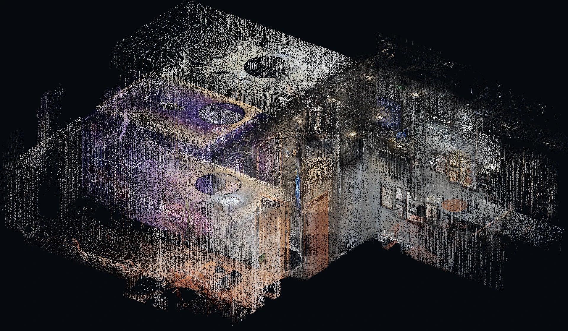
01 · E57
Per-scan poses preserve each scan’s position and orientation.
24K panoramas are available for Galois P4 projects.
| Software | Export option | Workflow |
|---|---|---|
| Autodesk ReCap Pro 2025.1+ | E57 + panorama | Enable Import Image to view spherical panoramas in RealView. |
| Autodesk Revit / AutoCAD | E57 via ReCap · RCP / RCS | Index the E57 in ReCap, then link or attach the resulting point cloud for modeling and drafting. |
| Leica Cyclone 3DR | E57 + panorama / Cubemap | Import images for visual review and texturing. Cubemap faces import as independent perspective images. |
| CloudCompare | E57 · direct import | Process and compare point cloud geometry, including cloud-to-cloud and cloud-to-mesh distances. |
Walk through a residential renovation captured with Galois P4.
02 · PLY
Binary little-endian encoding.
| Software | Export option | Workflow |
|---|---|---|
| CloudCompare | PLY · direct read | Process and compare point cloud geometry, including cloud-to-cloud and cloud-to-mesh distances. |
| Open3D | PLY · direct read | Process and visualize point clouds in Python or C++. |
In Realsee Console, open your scanned project and select Point Cloud under Add-ons.
Select E57 or PLY. For E57, choose embedded images and resolution.
Download the file when processing is complete.