


The World's Largest 3D Space Database


BY THE NUMBERS
AI-Powered Digital Twin Platform
Realsee is a leading AI-powered digital twin platform with integrated hardware (Galois series 3D LiDAR scanners, SLAM scanners) and software (Realsee Editor). We deliver comprehensive 3D virtual tours and immersive solutions transforming residential and commercial real estate, AEC, insurance, hospitality, and travel.
55M+Collection Volume
70Countries
5000+Partner Brands
630+Patents
The Genesis of Realsee
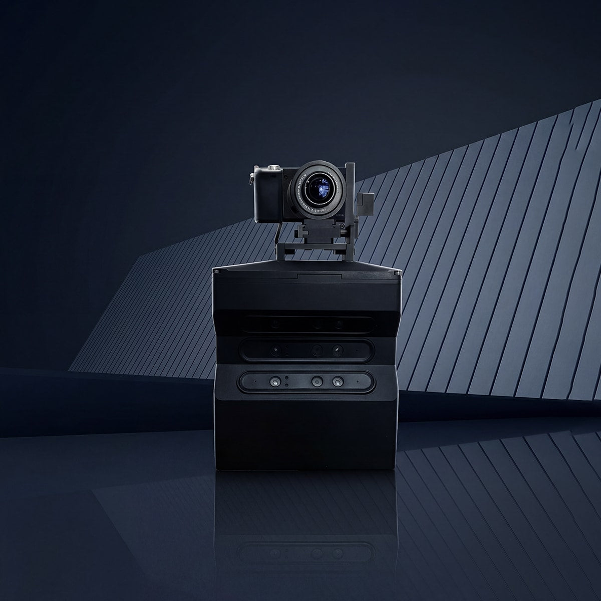
- The Vision Begins: Founded Realsee with a mission to digitize the physical world.
- First-Gen Innovation: Unveiled 'Gauss', our very first self-developed spatial capture device.
Industrialization & Scale
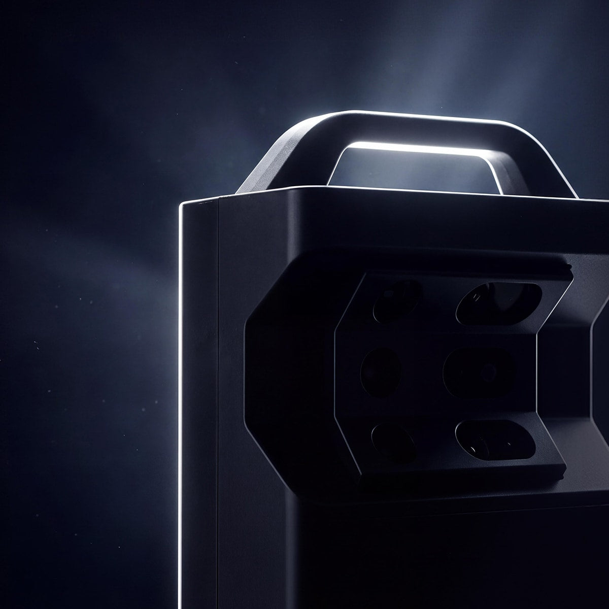
- Mass Production Milestone: Scaled manufacturing for our self-developed VR scanners.
- The 'Riemann' Debut: Released the Riemann scanner, our second-generation proprietary capture device.

Democratizing 3D Intelligence
- The Lite Solution: Launched Realsee Lite, making professional 3D tours more accessible than ever.
- AI-Guided Experiences: Debuted AI Guided Tours, enhancing how users interact with digital spaces. Total data captures surpassed 700,000.
The LiDAR Revolution
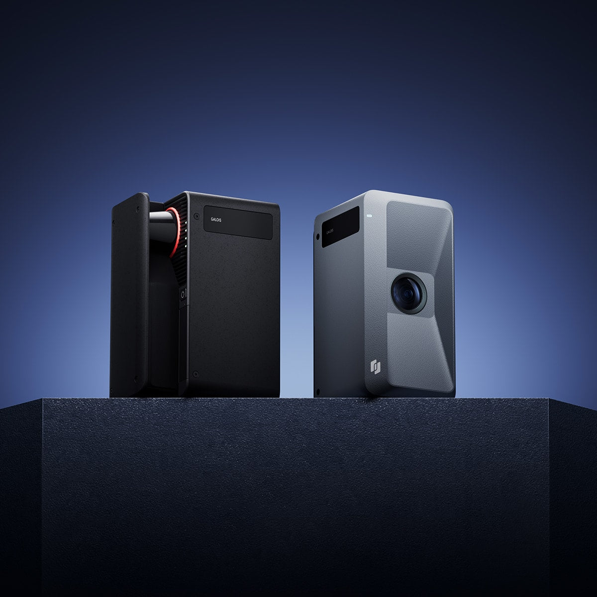
- Galois Series Launch: Introduced the Galois 3D LiDAR Camera, setting a new standard for high-resolution spatial capture.
- AI Integration: Released the Realsee VR App and AI-powered design tools, supporting over 3 million captures and achieving a 70% VR coverage rate in China’s residential market.
Cross-Industry Commercialization
- Scaling Impact: Realsee’s VR+AI technology saw mass adoption across Real Estate, AEC, Renovation, and Tourism.
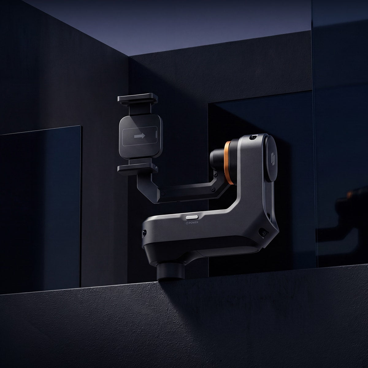
- Hardware Innovation: Commenced mass production of the Realsee G1, bringing lightweight, high-performance capture to the mainstream market.

Strategic Independence & Global Integration
- Institutional Growth: Incorporated our Cayman holding company to facilitate independent operations and accelerate global strategic expansion.
- Vertical Solutions: Introduced specialized digital twin solutions for diverse sectors, including New Retail and Industrial Parks.
- Leading Authority: Ranked among the Top 10 of China's VR 50 Enterprises, a benchmark for innovation and market influence.
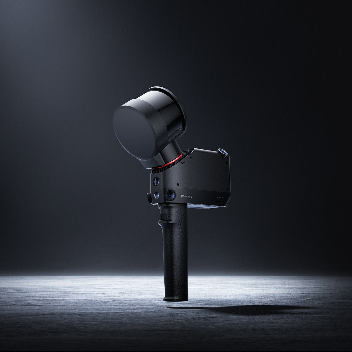
Perfecting the Ecosystem: Multi-Industry Expansion
- Hardware Breakthrough: Launched the Poincare Handheld 3D Laser Scanner, an industrial-grade solution for complex, large-scale spatial modeling.
- Unrivaled Scale: The total volume of captured spatial data officially surpassed 30 million units, reinforcing our position as the world's largest 3D spatial database.

Optimizing Spatial Capture to Drive Industry Evolution
- Data Milestone: The world’s largest 3D spatial database surpassed 40 million units, reinforcing our undisputed lead in global spatial data volume.
- Precision at Scale: Officially launched and scaled the "Poincare Intelligent Surveying" solution, revolutionizing high-precision measurement workflows.
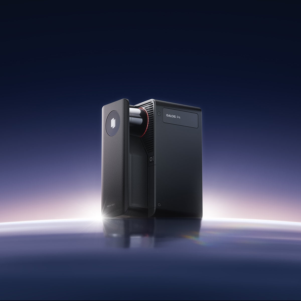
Accelerating Spatial Intelligence to Global Scales
- Hardware Dominance: Unveiled the Galois P4, setting a new standard for high-resolution 3D capture, alongside the Realsee G2 Cloud Gimbal for unparalleled workflow synchronization.
- The AI Frontier: Debuted Argus 1.0, the world's leading Spatial Foundation Model, redefining how AI understands and rebuilds physical spaces.
- Platform Trust: Recognized as the core digital infrastructure powering spatial digitization for major global platforms, including Meituan and Tujia.