


Read Our Stories
Popular Posts
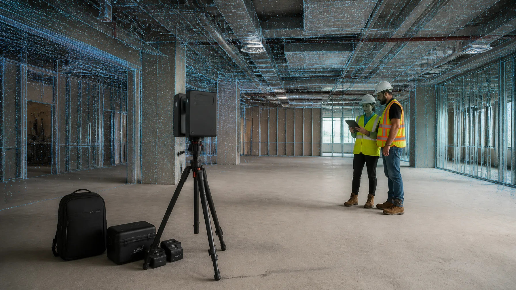
What Is Virtual Design and Construction (VDC)? How It Prevents Costly Field Conflicts
VDC, BIM, and scan-to-BIM are not the same thing. See which does what, who owns coordination, and which as-built data you need before the next install starts.
Latest News
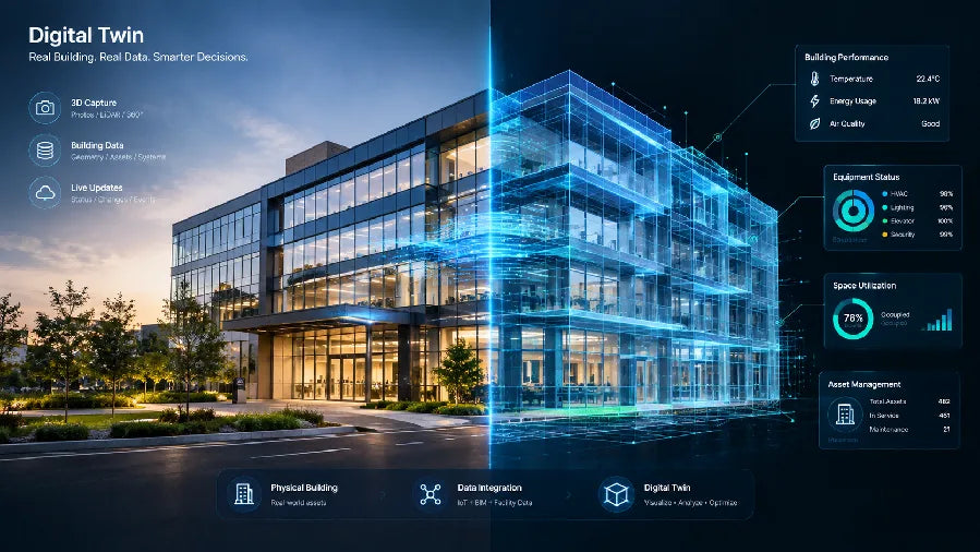
What Is a Digital Twin? A Complete Guide to Spatial Applications
Digital twin meaning explained with four core parts, update cadence and data fidelity, plus real estate, facilities and museum examples.
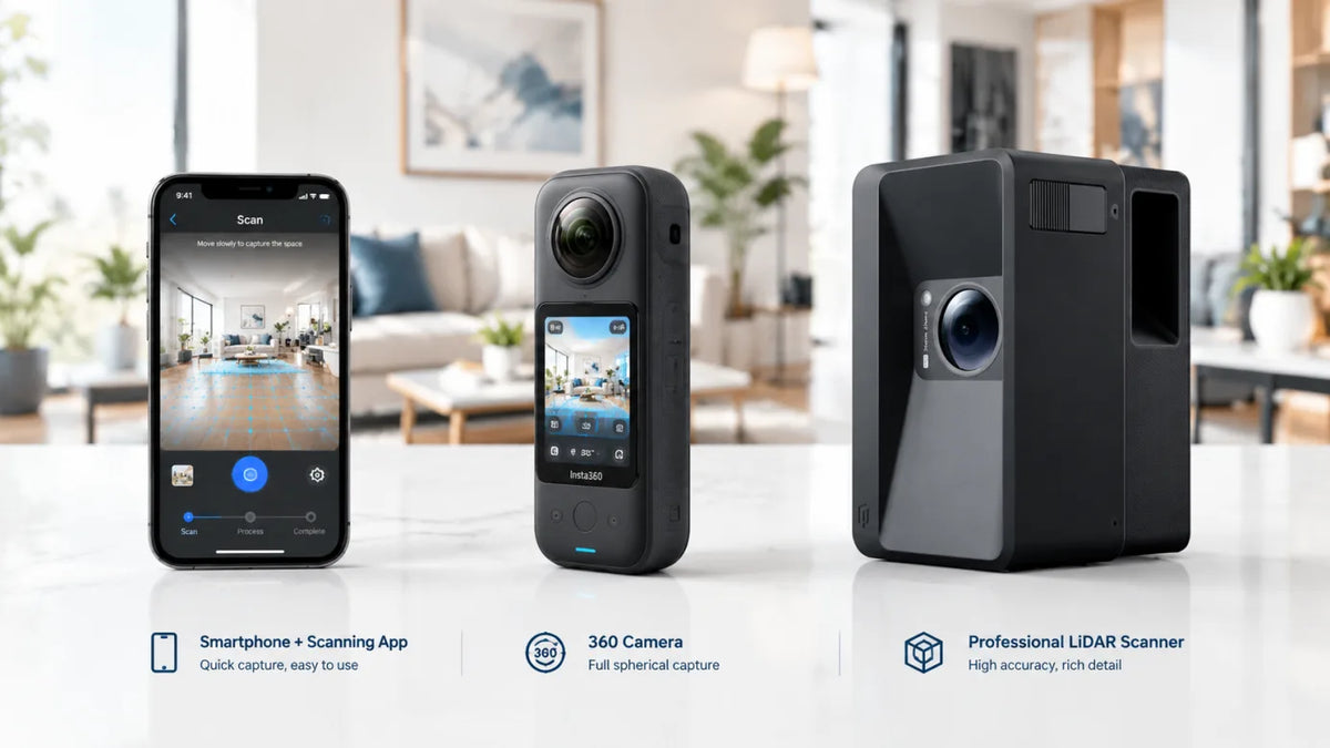
Mobile Capture vs 360 Camera vs LiDAR Scanner: Which 3D Tour Capture Method Is Right for You
Phone scans fit quick residential tours, 360 cameras steady high-volume listings, and LiDAR scanners deliver point clouds for AEC work.
Create 3D Tours Without a Monthly Subscription: How Realsee Works
Want to create professional 3D virtual tours without mandatory monthly subscription fees? Discover how Realsee’s credit-based, pay-as-you-go workflow gives you flexibility across smartphones, 360...
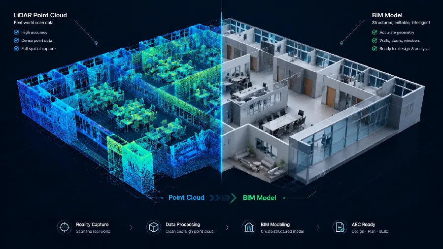
Point Cloud to BIM Workflow: How to Turn Site Scans into BIM Models
Scan planning, non-destructive point cloud cleanup, BIM import alignment, and LOA-based verification for renovation and as-built deliverables.

3D Scanning for Disaster Recovery: Document, Plan and Rebuild with Realsee
Discover how Realsee helps disaster-recovery teams document fire, flood, earthquake, and storm damage using 3D tours, floor plans, CAD files, and point clouds.
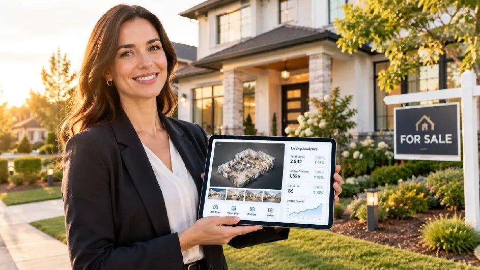
How to Build a 90-Day Real Estate Marketing Plan for a New Listing
Weekly scorecards, staged asset refreshes, and a day-by-day template guide the launch, feedback, and repositioning phases of a new listing.
Creator Stories

Realsee Galois P4 Brings Zimbabwe’s Pamarah Lodge to Life in 3D
Discover how Nkhaniza Africa utilized the Realsee Galois P4 LiDAR 3D scanner to capture Pamarah Lodge in Victoria Falls, Zimbabwe, creating an immersive 1,450m² digital twin that brings African bou...
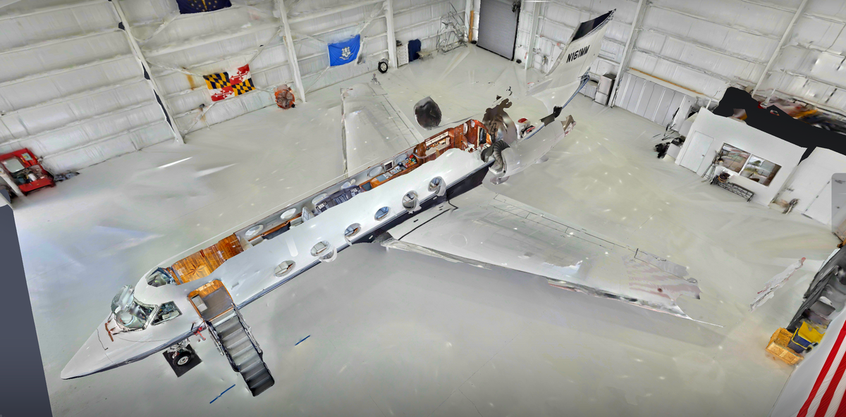
Beyond Real Estate: 3D Virtual Tours of a Private Jet and Yacht
Core Subject: How high-value mobile assets like a Gulfstream 400 private jet and a 118-foot Broward yacht (TRUE NORTH) are digitized into walkable 3D tours. Hardware Solution: Realsee Galois M2 ...
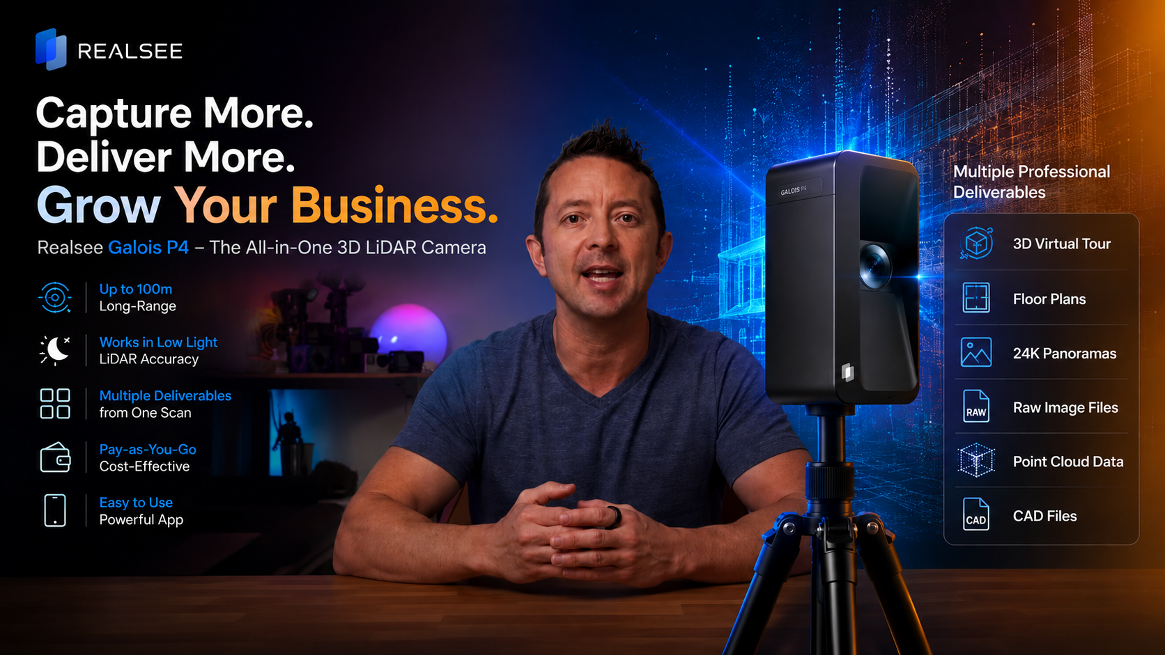
Realsee Galois P4 Review from LifeOfAccro– 3D LiDAR Camera for Virtual Tours, Point Clouds & CAD
This video provides a comprehensive overview and hands-on review of the Galois P4, a professional-grade 3D LiDAR mapping camera designed to simplify and enhance the creation of ultra-rea...
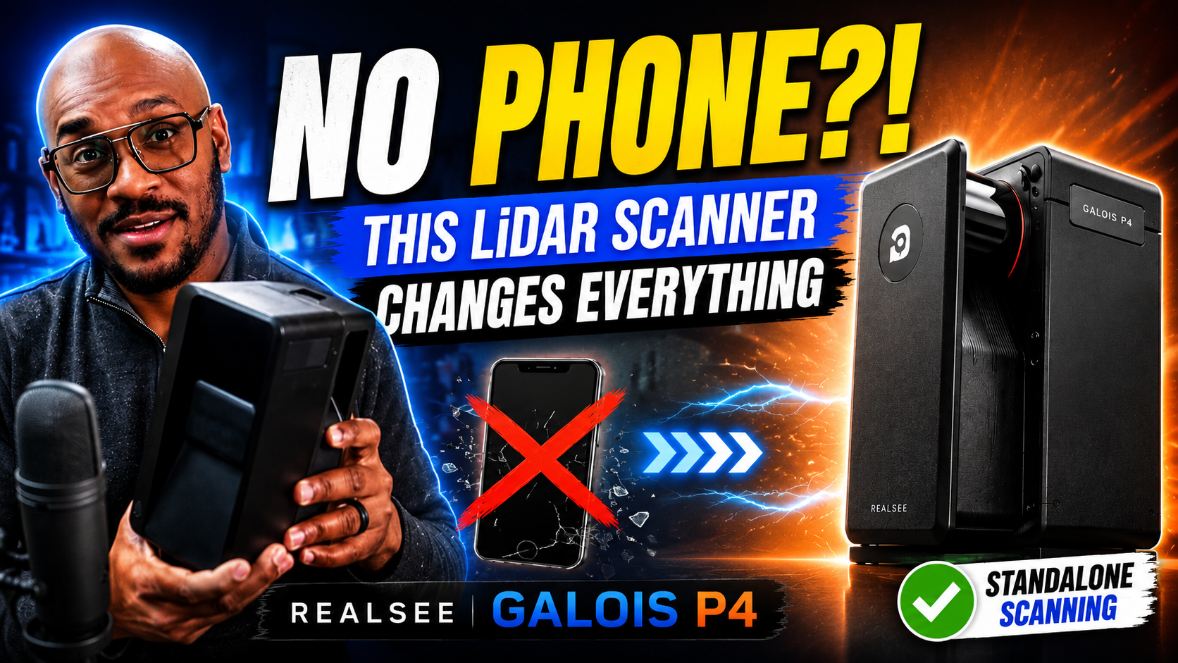
From Youtuber TD Vision U:" This LiDAR Scanner Doesn't Need Your Phone - And It Changes Everything".
This video provides a detailed, professional review of the Realsee Galois P4 lidar scanner. The reviewer, Edward, tests the device extensively in real-world scenarios, including under a ...

Reviewer: PhotoJoseph, specializing in camera reviews, tutorials, and professional imaging workflows, is based in Slovenia Experience: The PhotoJoseph channel is all about the camera: photograph...
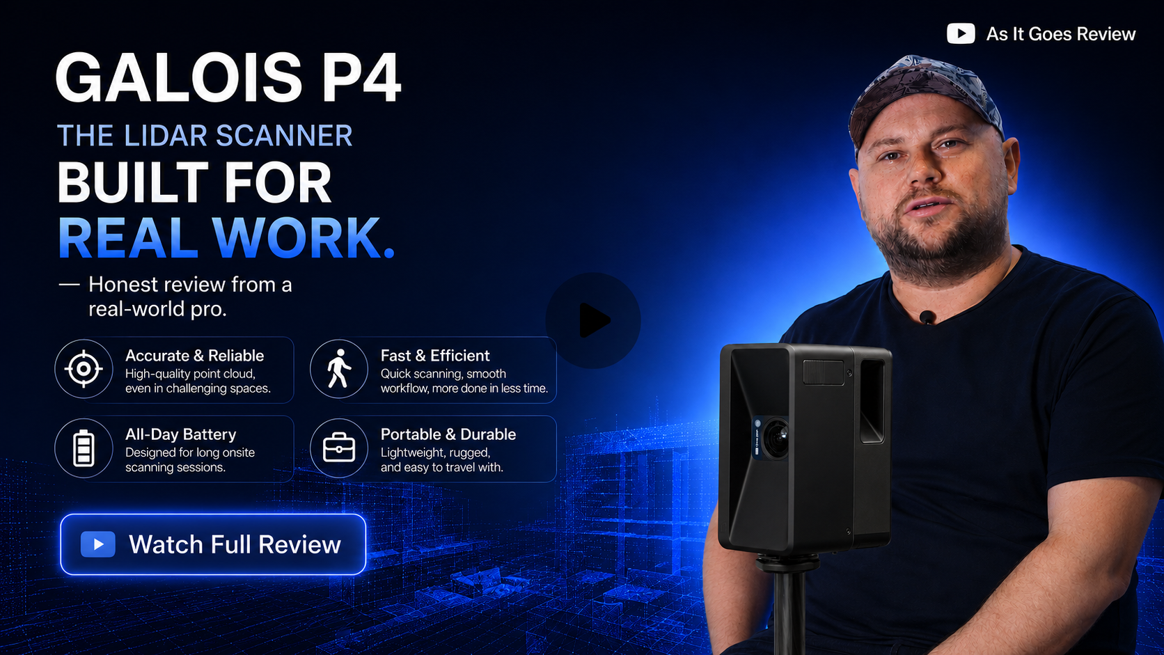
3 Years with Realsee: Why This Youtuber(As It Goes Review) Recommends the New P4?
Reviewer: Yurify, a seasoned real estate photographer based in Chicago Experience: Over 3 years using the Realsee M2 camera across various real estate projects, including small apartments, la...
Case Studies

No More Queues: How Realsee Recreated a 3,000 sqm Second-Hand Wonderland in VR
Forget waiting four hours to browse luxury bags or fighting crowds just to see a price tag. A new Beijing landmark is changing the way we shop—and it never closes. If you’ve been on social media la...

3,500㎡ Gym in 7 Hours: How Realsee P4 Built a "Photo-Scam" Proof 3D Tour for gym.
Stop "gym catfishing" and boost conversions. See how Trainyard used the Realsee Galois P4 3D LiDAR camera to build trust with a 1:1 digital gym virtual tour.
Events
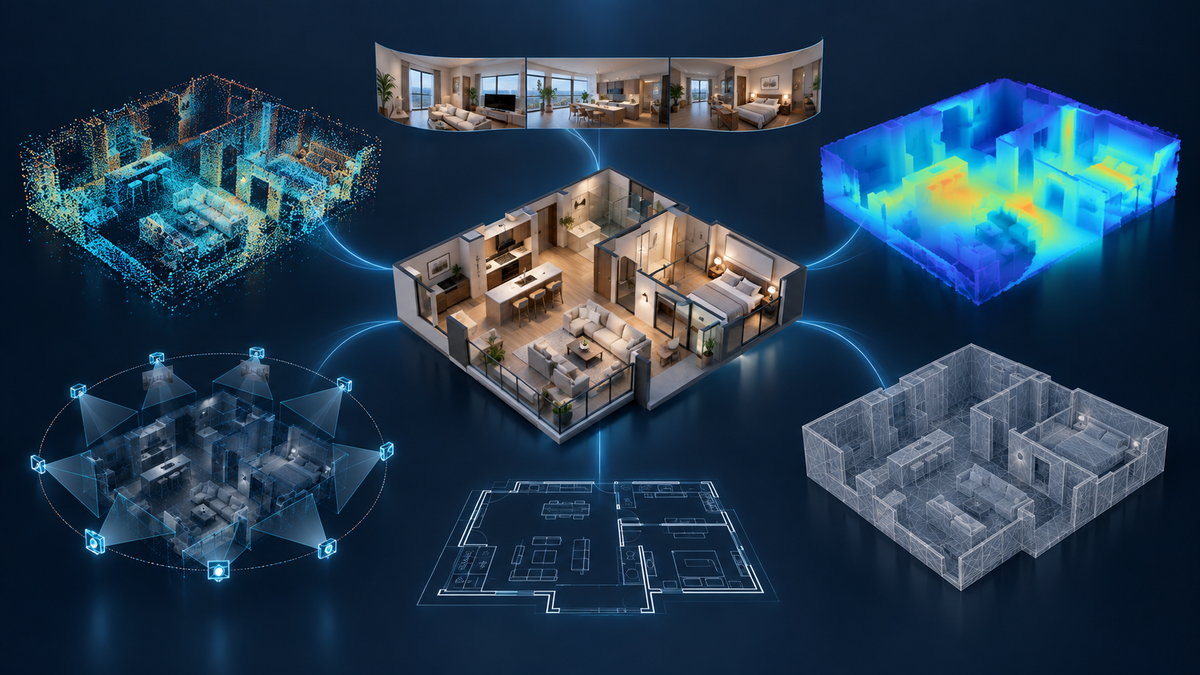
From Spatial Data to Digital Twins: What Happens When Realsee Galois Meets GPT-6 Astra?
Discover how GPT-6 Astra and spatial data captured by the Realsee Galois P4 could help transform real-world environments into structured, editable, and simulation-ready digital twin assets.
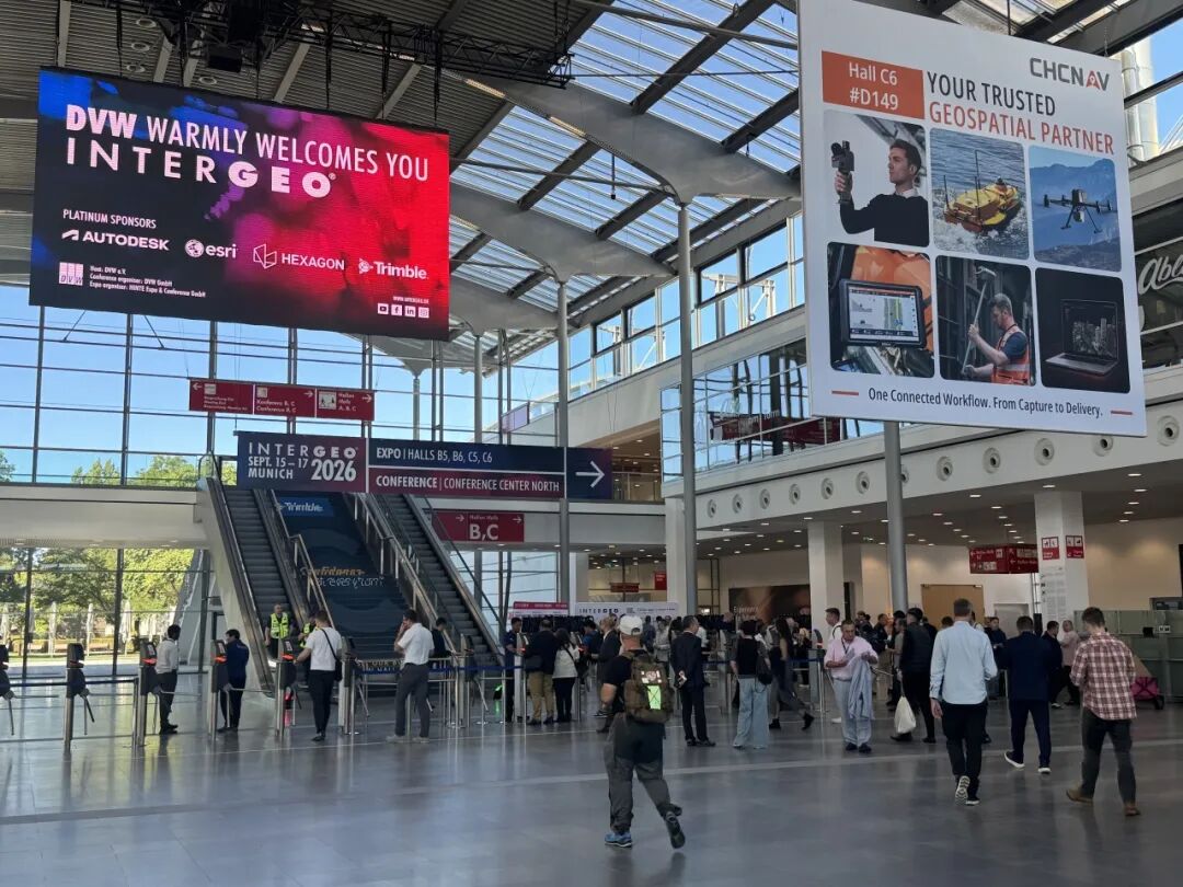
Realsee at INTERGEO 2026: Highlights from Munich
Catch up on Realsee’s INTERGEO 2026 highlights from Munich, featuring Galois P4, Poincare, and AEC workflows that connect site capture with design and cloud collaboration.