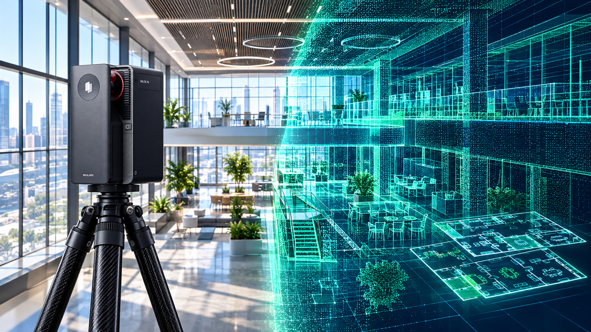


Is the Galois P4 the high-precision, flexible Matterport alternative commercial spatial creators have been waiting for?
Executive Summary: Key Field Test Takeaways
- LiDAR Precision: Realsee Galois P4 achieves sub-10mm measurement accuracy at 15m with 125,600 pts/sec.
- Visual Quality: Native 24K (up to 300MP) HDR panoramas with 8x lossless zoom capability.
- Workflow Ergonomics: Phone-free standalone capture via built-in high-brightness touchscreen.
- Business Model: Flexible pay-as-you-go processing credits without mandatory active space subscription lock-in.
Why Spatial Creators Are Exploring Matterport Alternatives in 2026
For years, Matterport has served as the de facto benchmark for real estate 3D virtual tours. However, as professional workflows expand into AEC, engineering documentation, and commercial photography, spatial media creators are facing distinct bottlenecks: rising subscription overheads, active space capacity caps, and closed proprietary ecosystems.
This has driven significant interest in modern Matterport alternatives—hardware and platform systems that deliver uncompromised LiDAR accuracy, ultra-high-resolution panoramas, and genuine operational freedom.
To see how the latest technology holds up in the field, seasoned 3D capture expert Tom Sparks took the Realsee Galois P4 and the Matterport Pro3 into the same real-world hotel suite for a rigorous side-by-side evaluation.
Watch the Field Test: I Tested Realsee Galois P4 vs My Matterport Pro3
Watch the hands-on comparison below to observe the capture process, hardware ergonomics, and resulting virtual tour fidelity in a complex hospitality environment:
Head-to-Head Specification & Capability Breakdown
Both devices represent cutting-edge spatial capture hardware, yet their engineering priorities reflect different workflows:
| Feature / Metric | Realsee Galois P4 | Matterport Pro3 |
|---|---|---|
| LiDAR Range & Sensor | 905nm LiDAR, 0.1m to 100m range | 904nm LiDAR, 0.5m to 100m range |
| Measurement Precision | < ±10 mm (@ 0.1–15m) High Precision | ±20 mm (@ 10m) |
| Point Cloud Acquisition Rate | 125,600 pts/sec | ~100,000 pts/sec |
| Panoramic Image Resolution | 24K (Up to 300 MP), 4/3" CMOS | Up to 134.2 MP, 1" CMOS |
| Scan Cycle Time | ~16 seconds per scan point | < 20 seconds per scan point |
| On-Device Workflow | Integrated Touchscreen (Phone-Free Mode) | Requires paired iOS / Android App |
| Billing & Hosting Flexibility | Pay-as-you-go credit system + Subscription options | Monthly tier subscriptions with Active Space limits |
Interactive 3D Walkthrough: Inspect the Raw Capture Quality
Spatial resolution matters most when zooming into architectural finishes, textured fabrics, and outdoor dynamic range. Explore the interactive 3D tours created with the Galois P4 across different property types:
Key Takeaways from the Field Evaluation
1. 24K Panorama Fidelity & True 8x Lossless Zoom
Equipped with a large 4/3-inch CMOS sensor and automatic 5-exposure HDR processing, the Galois P4 outputs up to 300-megapixel panoramas. In bright hotel rooms with strong window backlighting, highlights remain controlled while interior shadow details are fully preserved without color fringing.
2. Phone-Free On-Device Operation
Unlike traditional systems that require an external tablet or smartphone tethered over Wi-Fi for every sweep, the Galois P4 features an integrated high-brightness touchscreen. Operators can configure, trigger, and verify stations directly on the device, eliminating dropped Wi-Fi connections during high-volume commercial shoots.
3. Commercial Freedom: No Monthly Hosting Hostage
A recurring frustration among enterprise service providers is being locked into escalating recurring fees just to keep past client models online. Realsee provides a transparent pay-as-you-go credit model alongside standard subscriptions, empowering photographers to scale up during peak seasons without carrying idle overhead during slower months.
Frequently Asked Questions: Matterport Alternatives
Is Realsee Galois P4 a viable alternative to the Matterport Pro3?
Yes. The Realsee Galois P4 provides comparable LiDAR range (up to 100m) with superior point cloud density (125,600 pts/sec) and higher panoramic resolution (24K/300MP), combined with phone-free touchscreen operation.
Can I export point clouds and floor plans from Realsee?
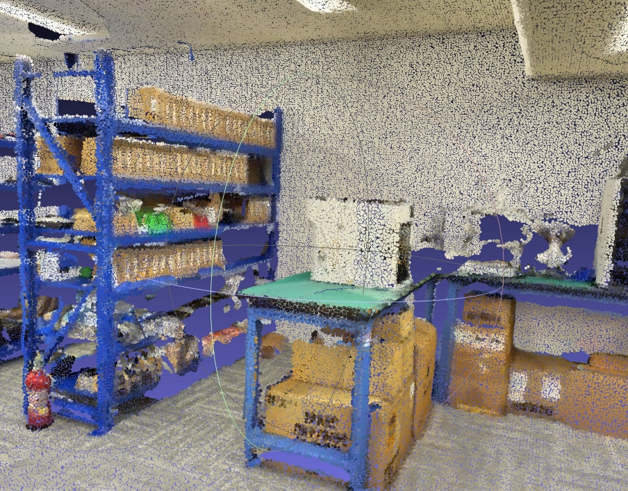
Yes. Realsee supports downloadable assets including registered point clouds, OBJ mesh models, CAD-ready DWG floor plans, and high-resolution pano files.
Do I have to pay monthly subscriptions to keep my Realsee 3D tours active?
No. Realsee supports flexible pay-as-you-go processing credits, allowing users to process and deliver client tours without forced monthly hosting contracts.
Interested in Seeing the Galois P4 in Action?
Contact our technical team directly on WhatsApp to request a live 1-on-1 workflow demo, raw point cloud datasets, or sample deliverables.
💬 Chat on WhatsApp for a Demo