


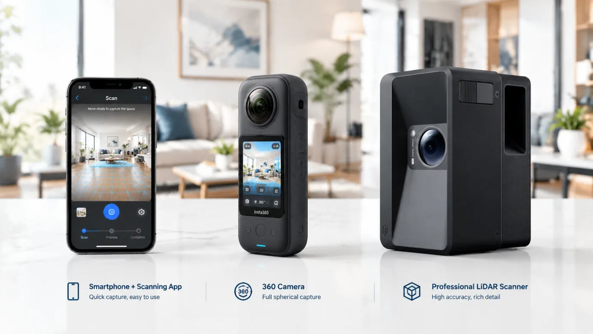
Mobile Capture vs 360 Camera vs LiDAR Scanner: Which 3D Tour Capture Method Is Right for You
Phone scans fit quick residential tours, 360 cameras steady high-volume listings, and LiDAR scanners deliver point clouds for AEC work.
Create 3D Tours Without a Monthly Subscription: How Realsee Works
Want to create professional 3D virtual tours without mandatory monthly subscription fees? Discover how Realsee’s credit-based, pay-as-you-go workflow gives you flexibility across smartphones, 360...
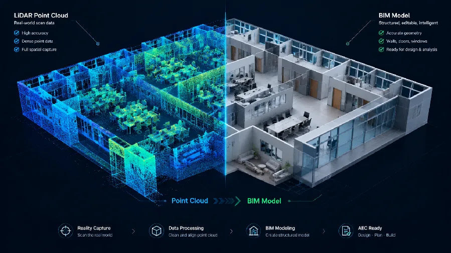
Point Cloud to BIM Workflow: How to Turn Site Scans into BIM Models
Scan planning, non-destructive point cloud cleanup, BIM import alignment, and LOA-based verification for renovation and as-built deliverables.

3D Scanning for Disaster Recovery: Document, Plan and Rebuild with Realsee
Discover how Realsee helps disaster-recovery teams document fire, flood, earthquake, and storm damage using 3D tours, floor plans, CAD files, and point clouds.
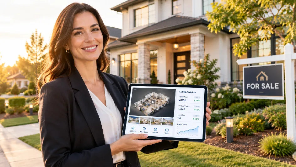
How to Build a 90-Day Real Estate Marketing Plan for a New Listing
Weekly scorecards, staged asset refreshes, and a day-by-day template guide the launch, feedback, and repositioning phases of a new listing.
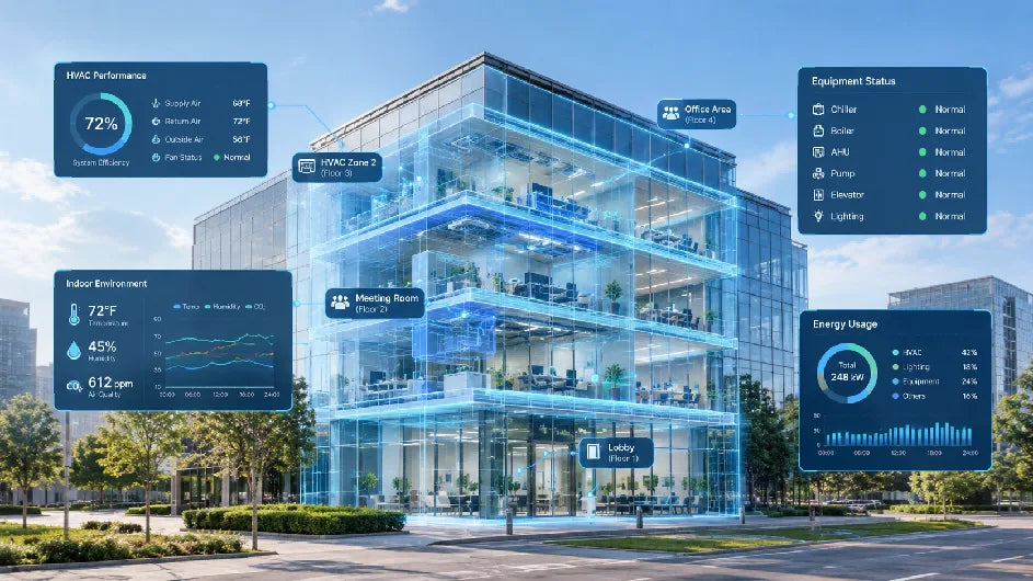
Smart Building Technology: Where Digital Twins Fit in the Building Data Stack
Smart building technology connects live data to real rooms and equipment. Digital twins add spatial context without replacing automation, IoT.