
















From Galois M2 to P4:
A Professional Upgrade

P4 builds on the Galois series with higher image quality, faster capture, longer range, denser point clouds, and a more flexible on-site workflow.


Built to Set the Standard
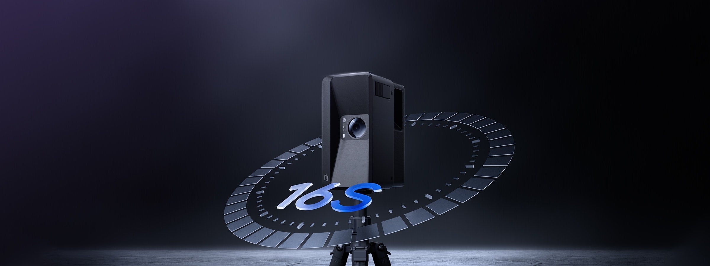
Capture each scan point in around 16 seconds, helping real estate photographers and spatial capture teams reduce time on site.
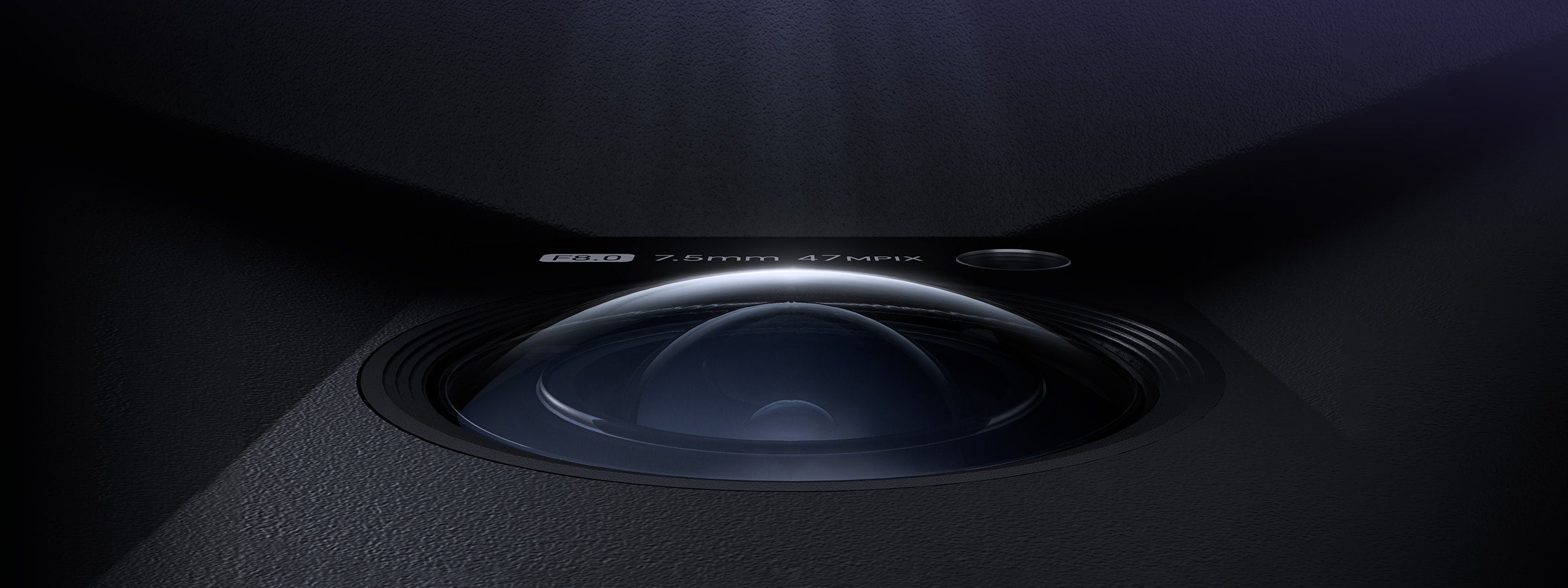
Create ultra-high-resolution 3D virtual tours with up to 300MP panoramic output and lifelike visual detail.
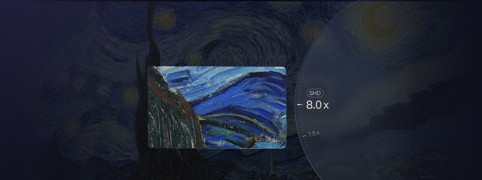
Let viewers inspect textures, finishes, signage, and distant details with greater clarity in 3D virtual tours.
Capture larger indoor, outdoor, and commercial spaces with long-range LiDAR coverage.
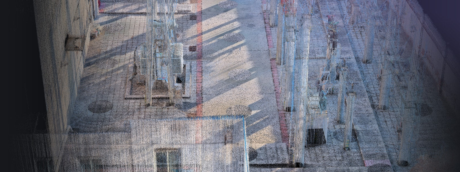
Capture up to 125,600 point clouds per second for professional spatial data and documentation workflows.
A quick overview of what Galois P4 is, who it is built for, and what it can deliver from one professional 3D LiDAR scan.
Galois P4 is a professional 3D LiDAR camera built for 24K virtual tours, dense point cloud capture, 3D models, CAD-ready outputs, floor plans, and digital twin workflows across real estate, AEC, commercial spaces, and spatial documentation projects.
Want a broader buying FAQ before choosing?Professional 3D LiDAR scanner and 3D LiDAR camera
Real estate photographers, AEC teams, commercial spaces, museums, and spatial capture service providers
24K visual quality and up to 300MP panoramic output
100-meter scanning radius and 125,600 point clouds per second
16 seconds per scan point
3D tours, point clouds, 3D models, CAD outputs, RAW images, floor plans, and 3D snapshots
Blind capture, co-capture, and Realsee cloud-based editing and delivery
From retail showrooms and warehouses to gyms, apartments, museums, and commercial properties, Galois P4 helps teams create high-resolution 3D virtual tours with LiDAR-backed spatial data.

Captured in stunning high definition with the Galois P4, this immersive 3D virtual tour brings every detail to life. With 8x magnification, you can explore rich textures, fine craftsmanship, and intricate finishes up close—exactly as they appear in person. Experience the space with unmatched clarity and realism, all from anywhere in the world.
Step into the SuperSpin Warehouse Store, where 24K ultra-HD restoration brings every corner of the warehouse to life. Zoom in up to 8x to clearly view the details of every product, down to the fine print on the packaging. The models are meticulously crafted with clearly defined sections for easy navigation. This is online shopping taken to the next level—an immersive experience like never before.
The Forge Gym, located in Beijing, is a 3,500-square-meter premium fitness space captured with Galois P4 technology. It offers an immersive VR experience that lets users explore its world-class equipment, dedicated strength and cardio zones, and iconic treadmill views of the CCTV building—bringing the gym’s expansive layout and vibrant atmosphere to life before you even step in.
Captured with Galois P4, this luxury house is presented in stunning detail—every texture, finish, and subtle nuance restored with 24K ultimate color fidelity. The result is a vivid, true-to-life visual experience that lets you appreciate the refined materials, elegant spatial flow, and sophisticated ambiance as if you were there in person.

Clarity. Precision. Speed.
Galois P4 combines high-density LiDAR point cloud capture with 24K ultra-high-definition 3D reconstruction. It delivers up to 300MP panoramic imagery, 125,600 point clouds per second, and a 16-second scan cycle, making it a professional 3D LiDAR scanner for virtual tours, point clouds, digital twins, and spatial documentation.

Designed for professional field capture, Galois P4 is portable enough for real estate shoots, commercial spaces, construction sites, and large property documentation.

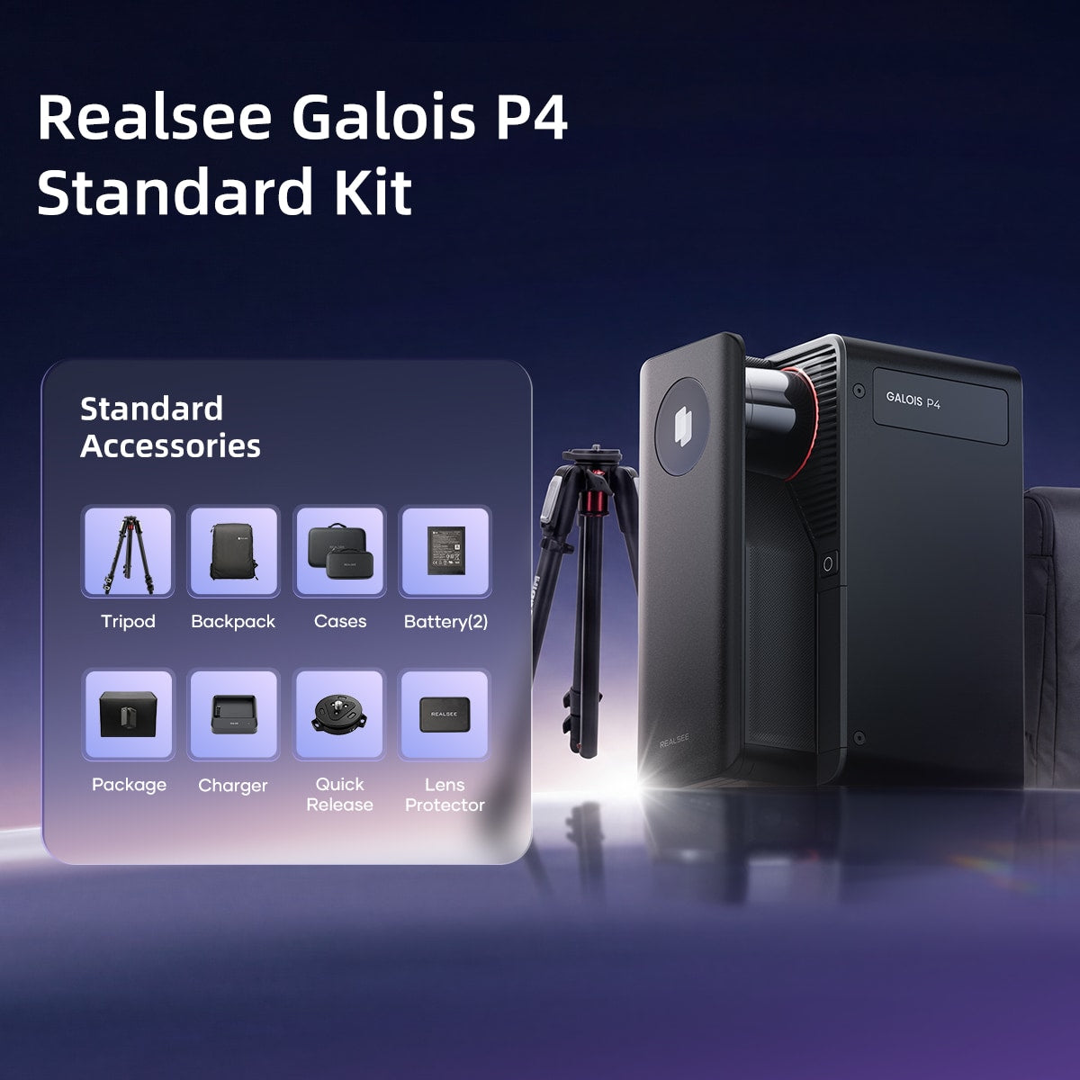
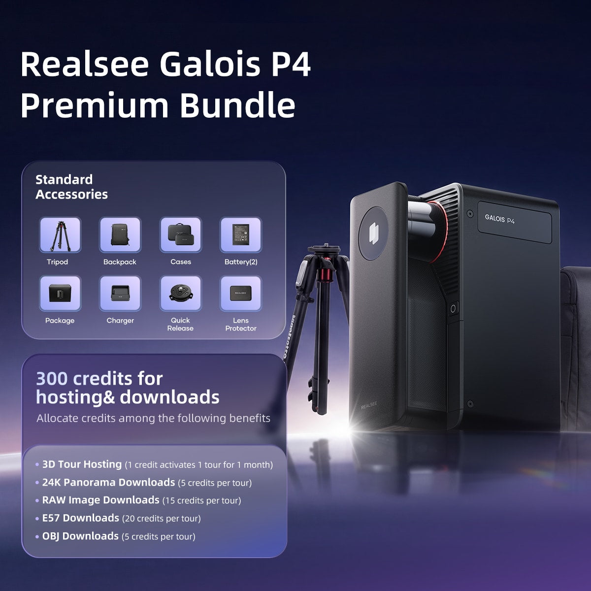
The Galois 3D LiDAR Camera Kit includes the essential accessories needed for professional 3D capture, from tripod setup to on-site scanning and project delivery.

Galois charges fully in just 2.5 hours and delivers up to 3 hours of continuous scanning, keeping your projects moving without interruption.
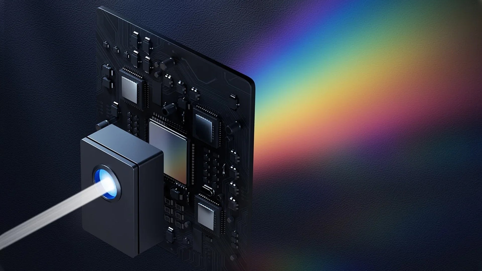
For real estate photography, commercial spaces, retail showrooms, and museums, visual clarity matters. Galois P4 combines a 4/3-inch CMOS sensor, multispectral imaging, Auto HDR, and 8X lossless zoom to create high-resolution 3D virtual tours with rich visual detail.
Galois P4 is designed to help capture teams scan faster on site, reduce setup friction, and manage large-space projects with flexible field workflows.

No complex setup. No training required. Just point and move to start capturing — anyone can do it. A simple 3D LiDAR scanning workflow for teams that need speed without sacrificing spatial data quality.
A full scan takes only 16 seconds, with point-to-point stitching completed in just 1 second—doubling the efficiency of capture workflows. With Galois P4, a 100㎡ space can be fully captured in just 8 minutes. Ideal for real estate shoots, commercial capture, and repeatable production workflows.
It supports multi-user partitioned parallel capture, enabling synchronized and efficient progress. Data is automatically and seamlessly stitched into a unified project, simplifying the handling of large-scale spaces and significantly accelerating. Useful for large commercial spaces, campuses, museums, warehouses, and AEC documentation.
Use the built-in touchscreen to capture on site without staying connected to a phone. Connect later to upload and manage the project.
A phone-free capture option for field teams that want a simpler on-site workflow.
As a professional point cloud scanner, Galois P4 combines long-range LiDAR, dense point capture, and a wide field of view to document spaces with greater coverage and detail. For teams that need both immersive 3D tours and technical spatial data, Galois P4 provides dense point cloud capture for real estate, AEC, construction documentation, and digital twin workflows.


Galois P4 extends its capture range up to 100 meters, delivering greater spatial penetration and deeper detection for higher precision in spatial understanding—empowering decisions that reach as far as your scan.
Equipped with a 905nm LiDAR, the Galois P4 captures 125.6k point clouds/s, enabling the collection of highly detailed 3D spatial data. Every nuance of space is revealed through its dense and precise point cloud—leaving no detail unseen.
Galois P4 breaks scanning boundaries with a massive 360° × 310.5° field of view, covering wider areas and leaving no blind spots—delivering truly higher efficiency and more complete capture.
One Galois P4 scan can support both marketing-ready 3D virtual tours and technical spatial deliverables. Export high-resolution panoramas, point clouds, 3D models, CAD-ready outputs, RAW images, floor plans, and 3D snapshots for real estate, AEC, construction documentation, commercial spaces, and digital twin workflows.

Format / Output
Best for
Realsee tour link / embed
Property marketing, commercial showcases, museums
.E57 / .PLY
AEC, construction documentation, scan-to-BIM workflows
Platform-supported model outputs
Visualization, spatial review, documentation
CAD deliverables
Design, renovation, construction coordination
Auto / manual floor plan outputs
Real estate listings, property media packages
RAW image files
Post-production and archival workflows
Up to 300MP panoramic images / JPG download
Marketing, social media, client reporting
High-quality visual assets
Marketing, social media, client reporting
From Galois M2 to P4:
P4 builds on the Galois series with higher image quality, faster capture, longer range, denser point clouds, and a more flexible on-site workflow.
Why Galois P4 Fits
Create premium 24K 3D virtual tours, floor plans, and visual assets for property listings.
Capture long-range LiDAR data, dense point clouds, and spatial documentation for renovation, construction, and scan-to-BIM workflows.
Document large spaces such as showrooms, warehouses, gyms, campuses, and retail environments.
Build immersive virtual experiences with high visual quality and spatial context.
Deliver multiple outputs from one scan, including 3D tours, point clouds, CAD-ready deliverables, and floor plans.


Creators and industry professionals have put Galois P4 to the test across real-world projects
“This LiDAR Scanner Doesn't Need Your Phone - And It Changes Everything. I tested the brand new Realsee Galois P4 LiDAR scanner on 4 real-world projects and put it head-to-head against the Matterport Pro3 and Leica BLK360 G2.”
TD Vision U
Watch the reviews"Realsee Galois P4 is a professional 3D LiDAR mapping camera designed to create high-accuracy virtual tours, point clouds, CAD files, and digital twins of real-world spaces — all in a fast, streamlined workflow."
Life of Accro
Watch the reviews" In this video, I unbox it, compare it side by side with the M2, do a real property scan with both cameras, and walk through the Realsee Console, floor plan editor, and pricing."
As It Goes Review
Watch the reviews"The Realsee Galois P4 is a major step forward for 360 virtual tours and 3D property scanning, with faster capture, more data, and a workflow that doesn't require your phone."
PhotoJoseph
Watch the reviews"In this video I test the Realsee Galois P4, a 3D LiDAR scanner capable of creating point clouds, CAD files, floorplans, and full digital twins of real-world spaces."
CAD Intentions
Watch the reviews


Realsee VR App